Im gleichen Modus wie in Tasmanien halten wir unsere Wanderungen in umgekehrter Reihenfolge fest:
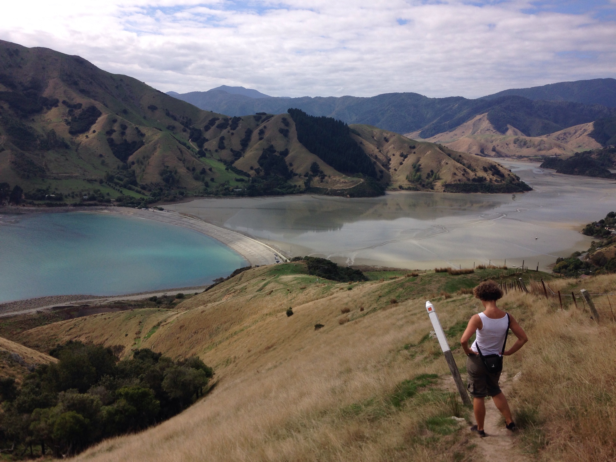
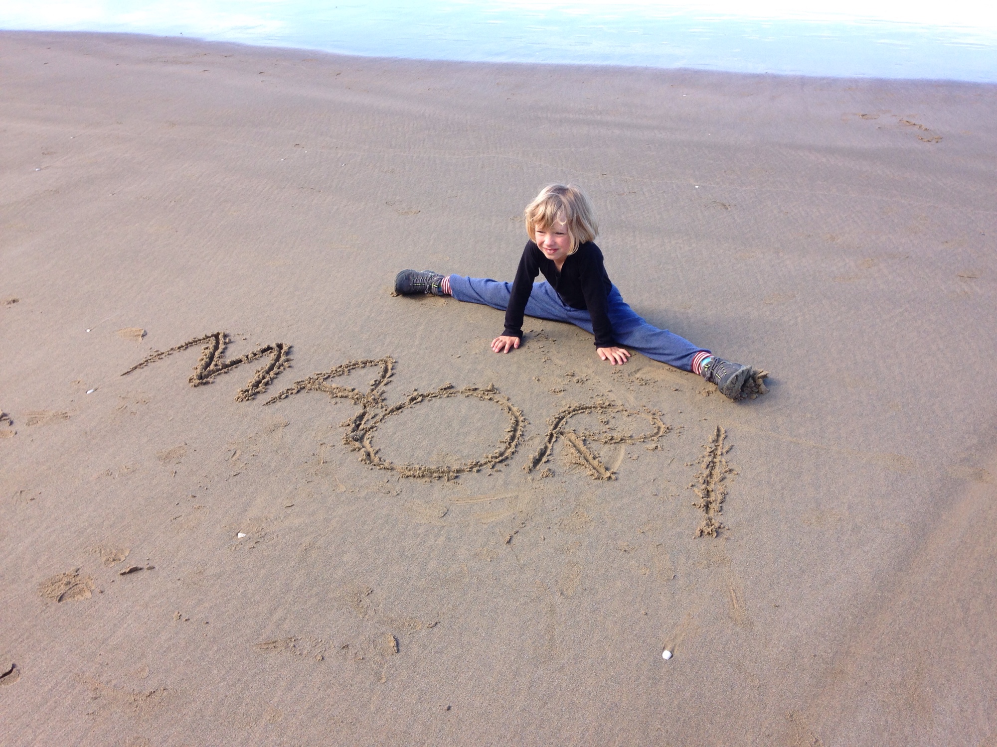
Cable Bay Walkway
30.03.2019
2 km / 1 h (zig schwitzende Höhenmeter… Hanna bleibt bockig am Hinweisschild für das erste Überseekabel Neuseelands sitzen…)
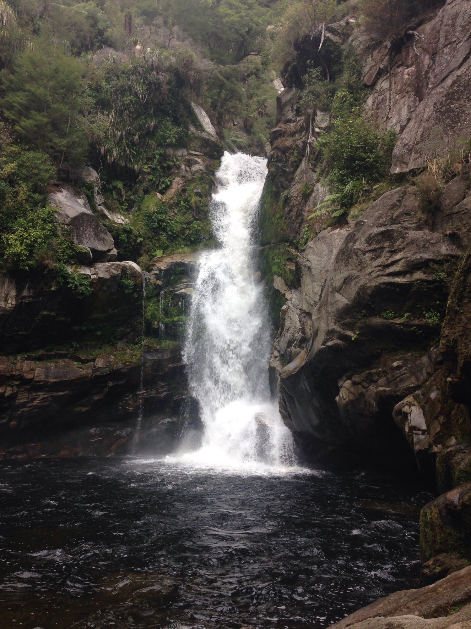
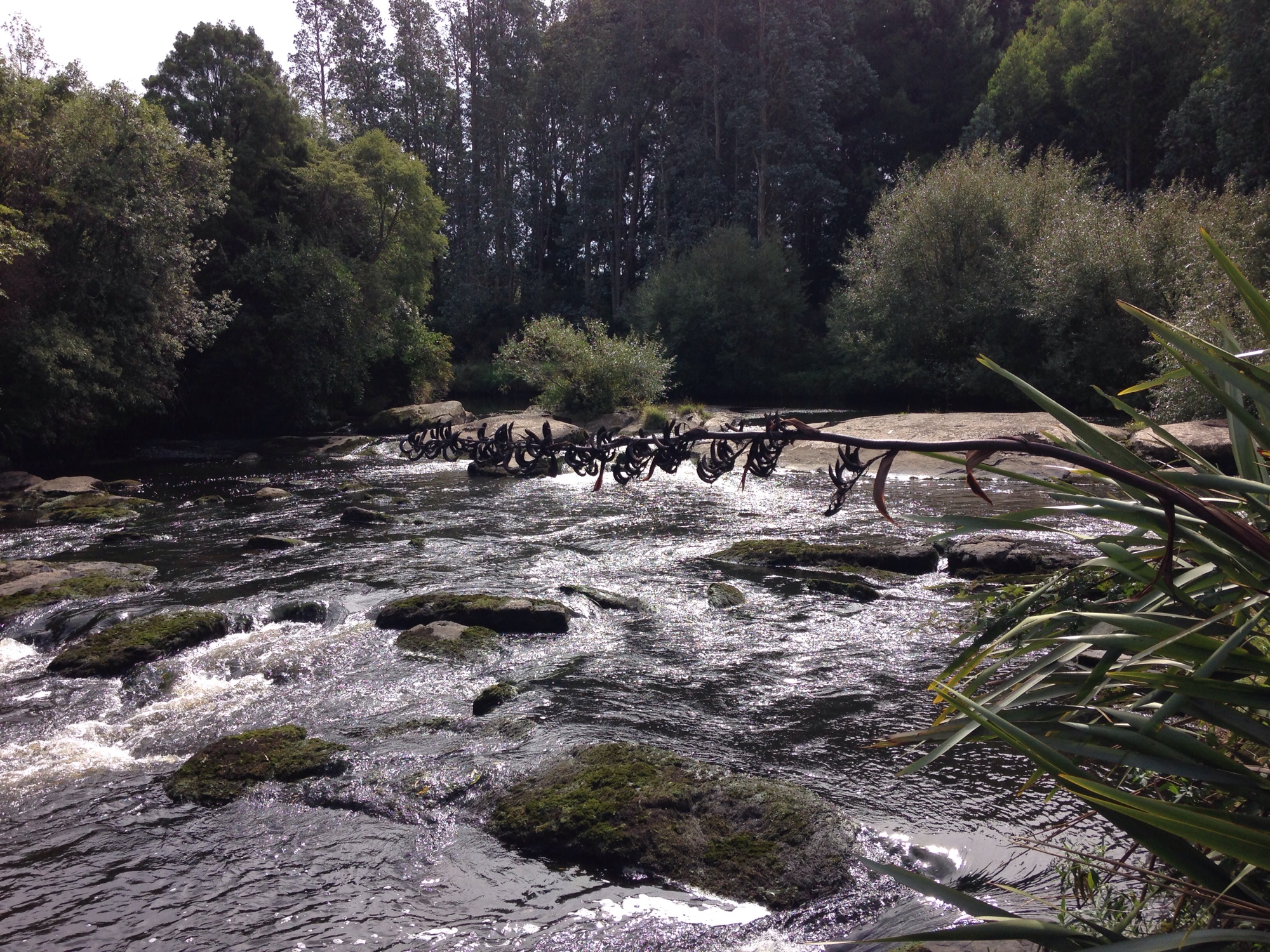
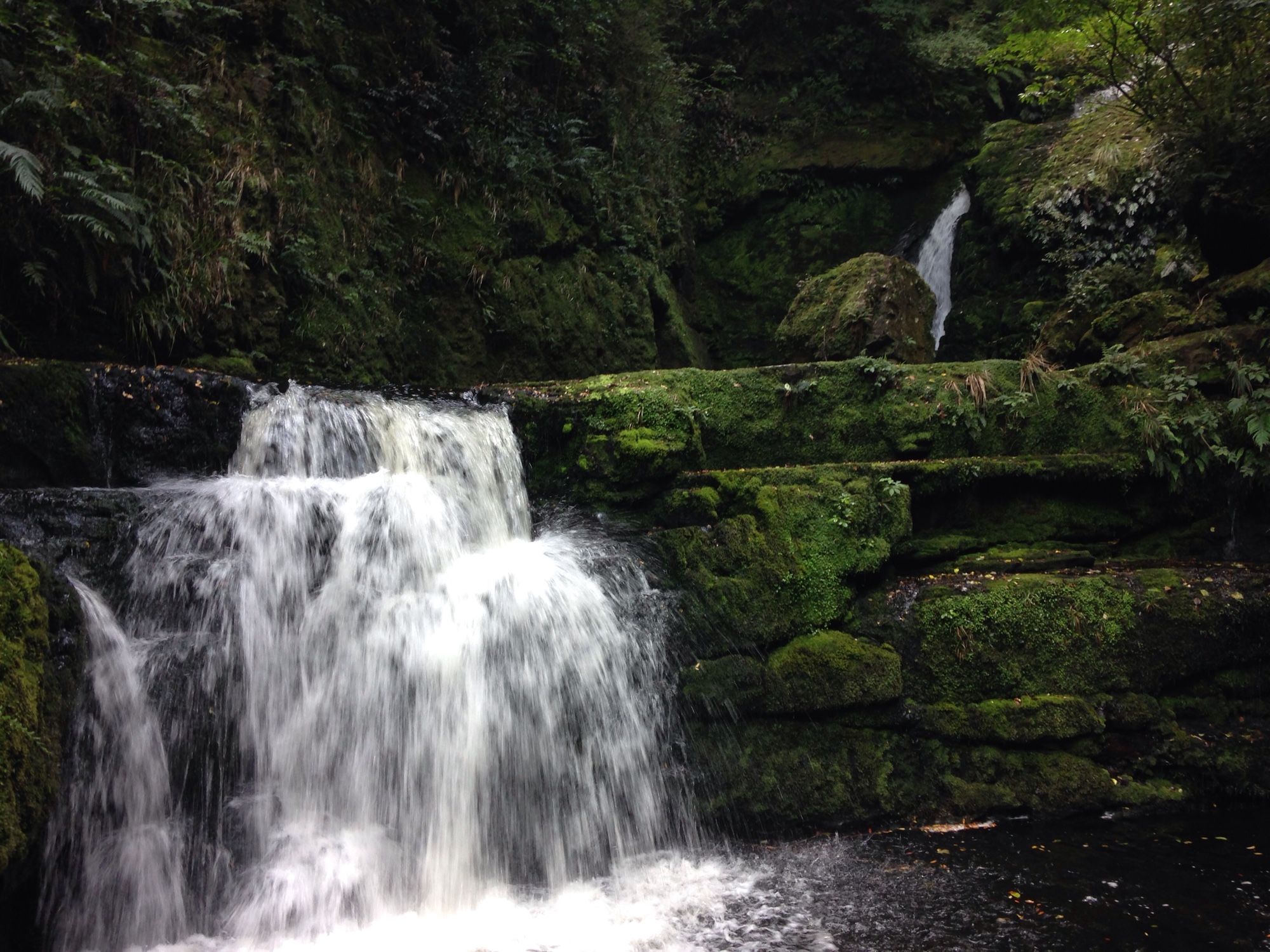
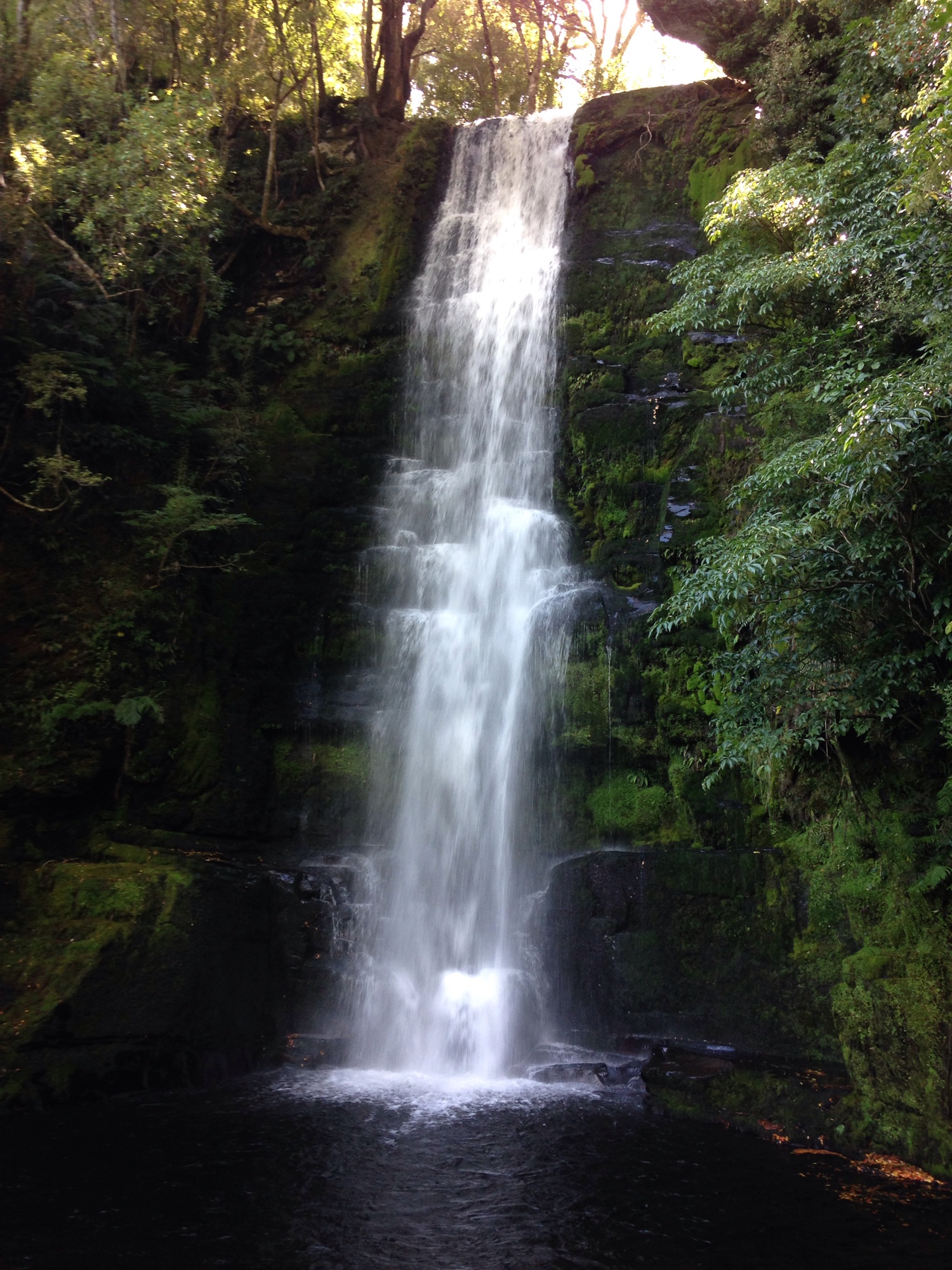
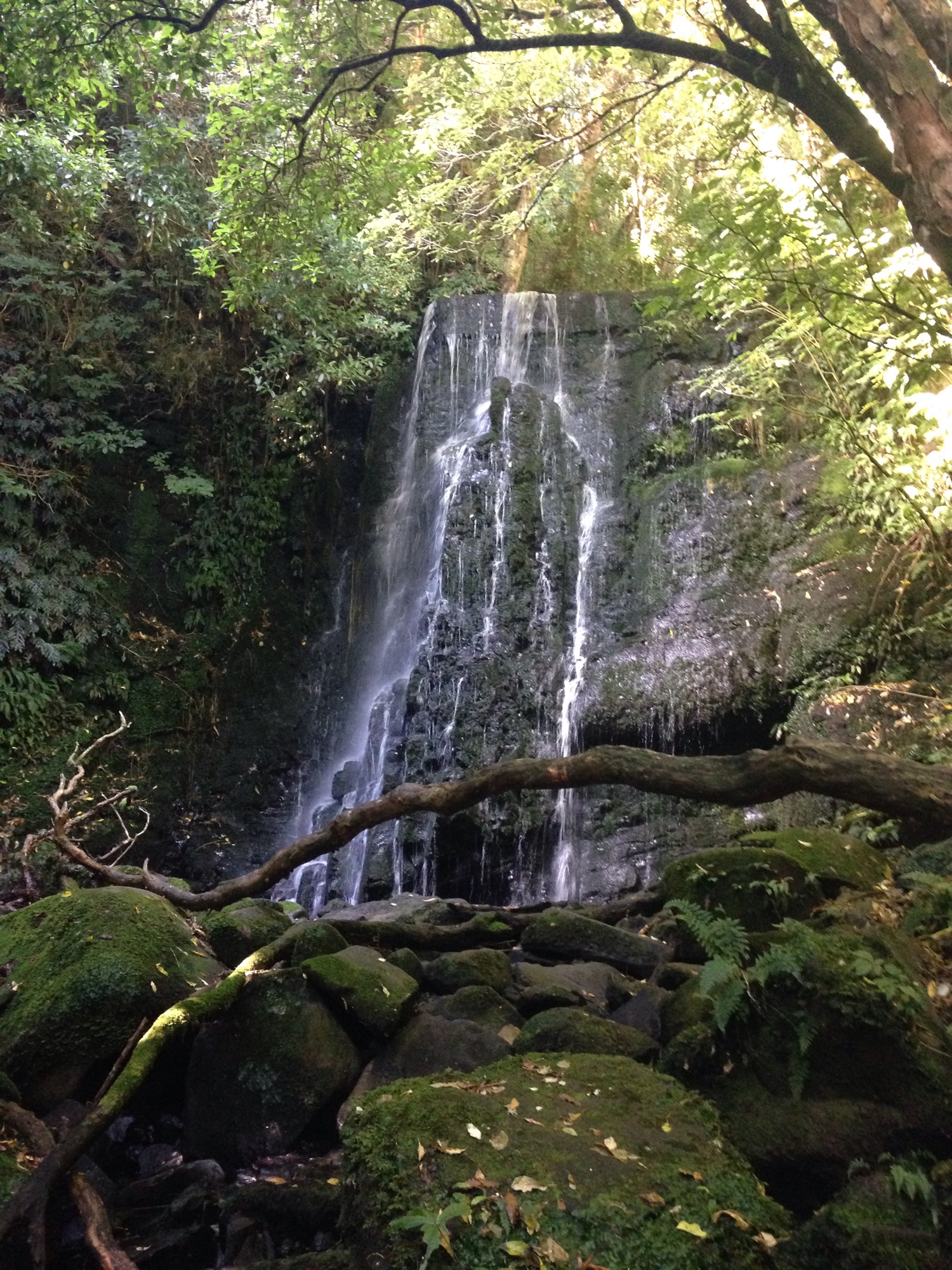
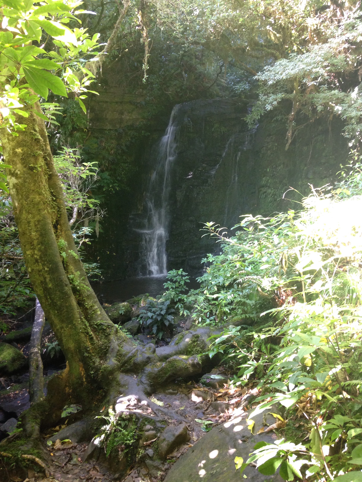
Wainui Falls
29.03.2019
4 km / 1 h
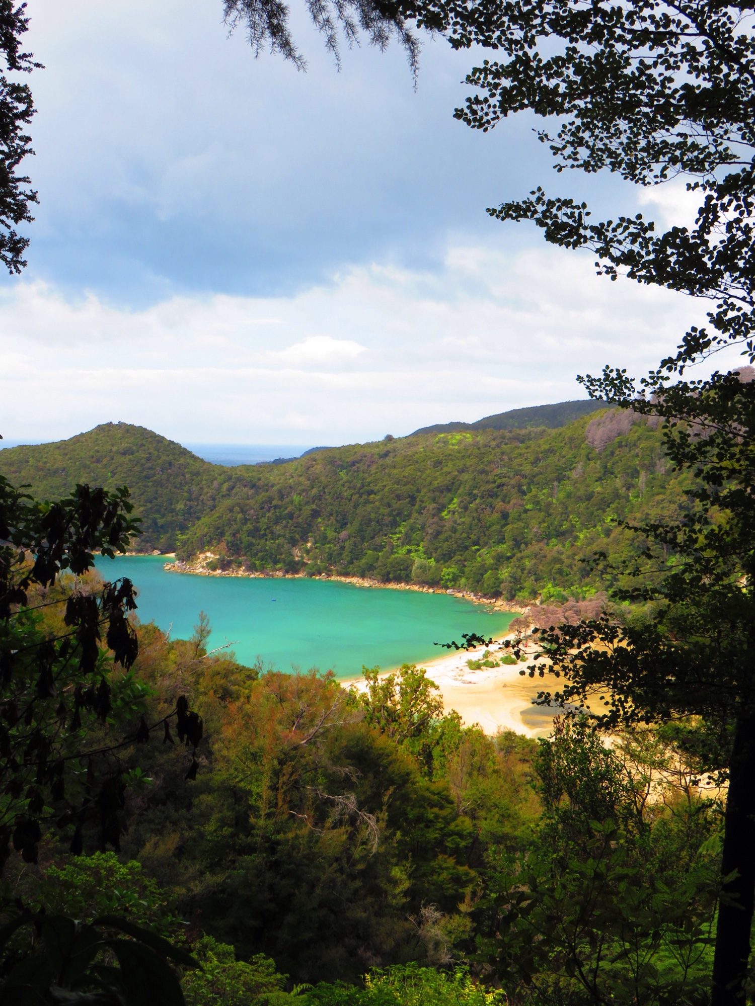
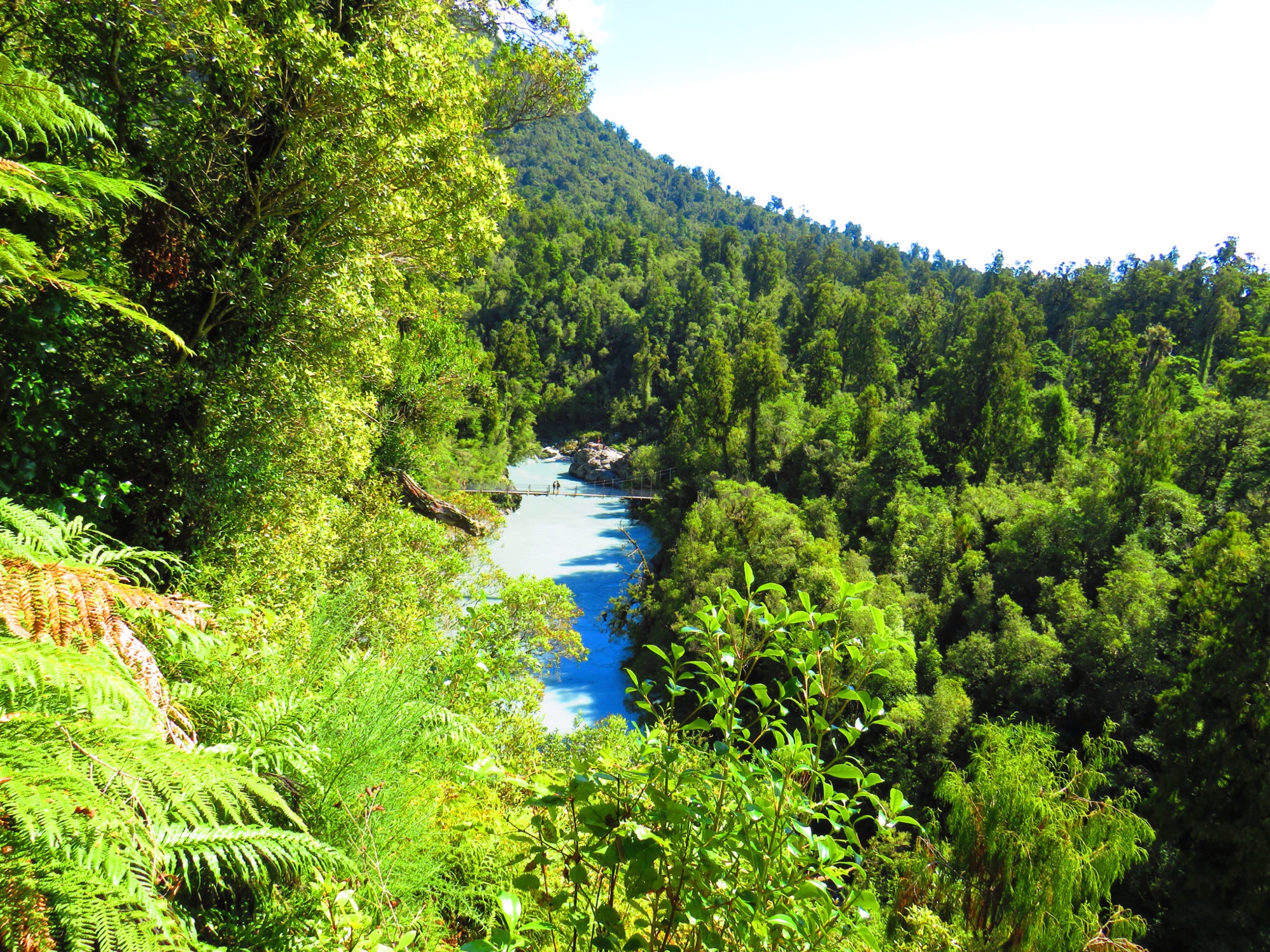
 Abel Tasman Coastal Trek – Abschnitt von Tonga Quarry nach Meadlands Beach
26.03.2019
4 km / 1 h
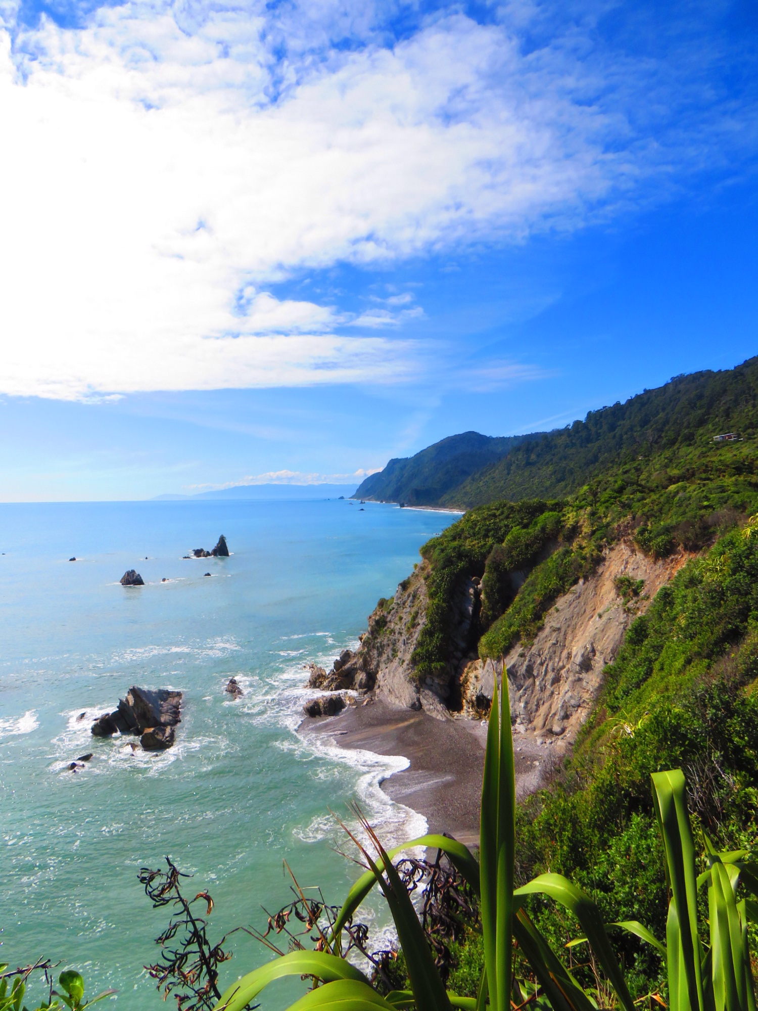
 Gentle Annie Ocean Walkway and Maze
24.03.2019
3 km / 1 h
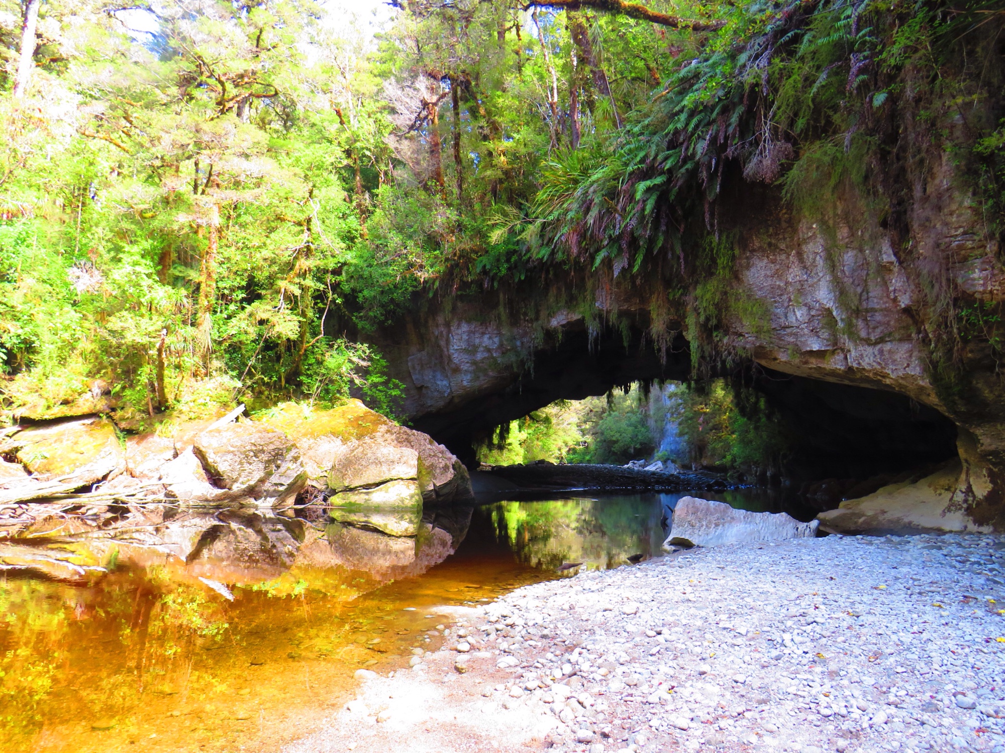
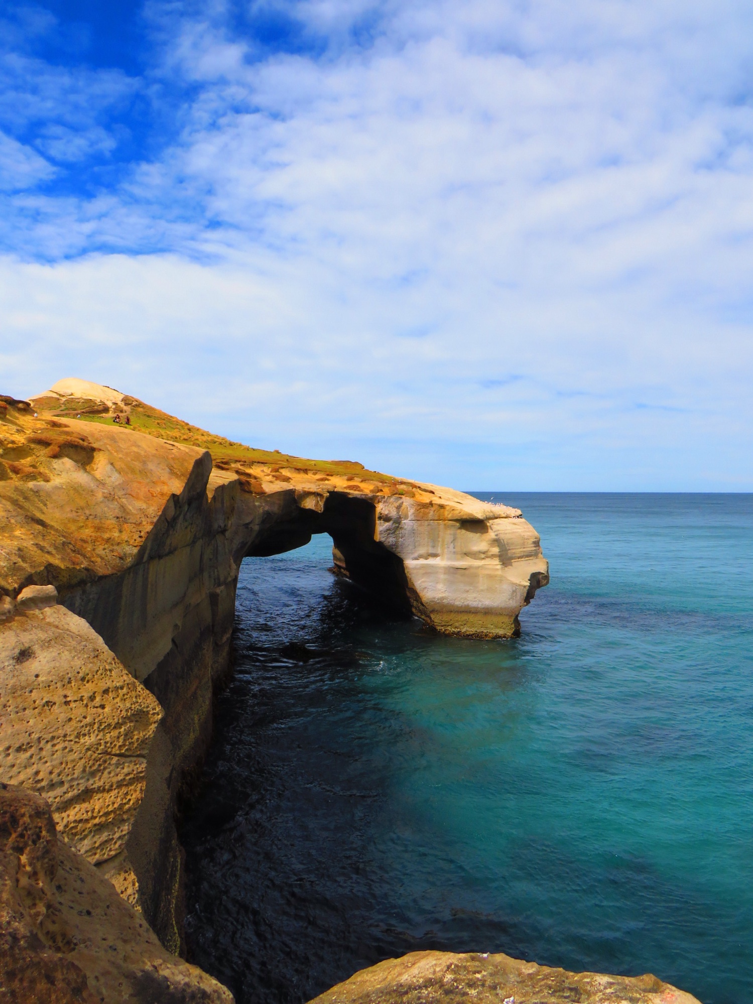
 Moria Gate/Arch Mirror Tarn Loop
23.03.2019
4,1 km / 1,5 h
 Zig-Zag Trek und Scotts Hill Lookout
22.03.2019
ca. 4 km / 1 h (Grit alleine)
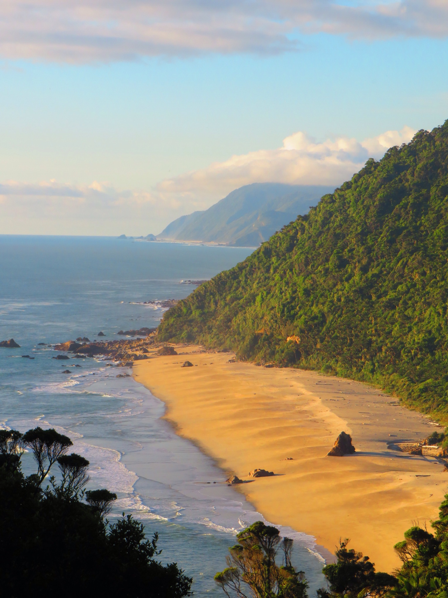 Charming Creek Walkway
22.03.2019
ca. 4 km / 1 h (Hanna bleibt im Auto und macht lieber Max Murmel-Heft)
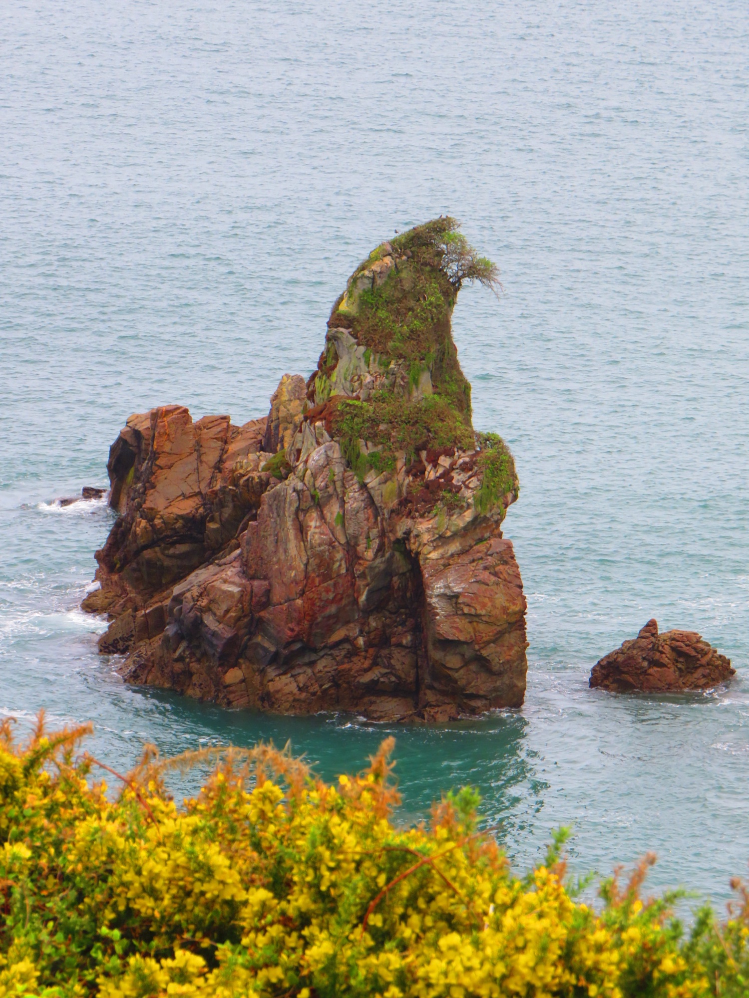
 Cape Foulwind Walkway
22.03.2019
ca. 3 km / 1 h
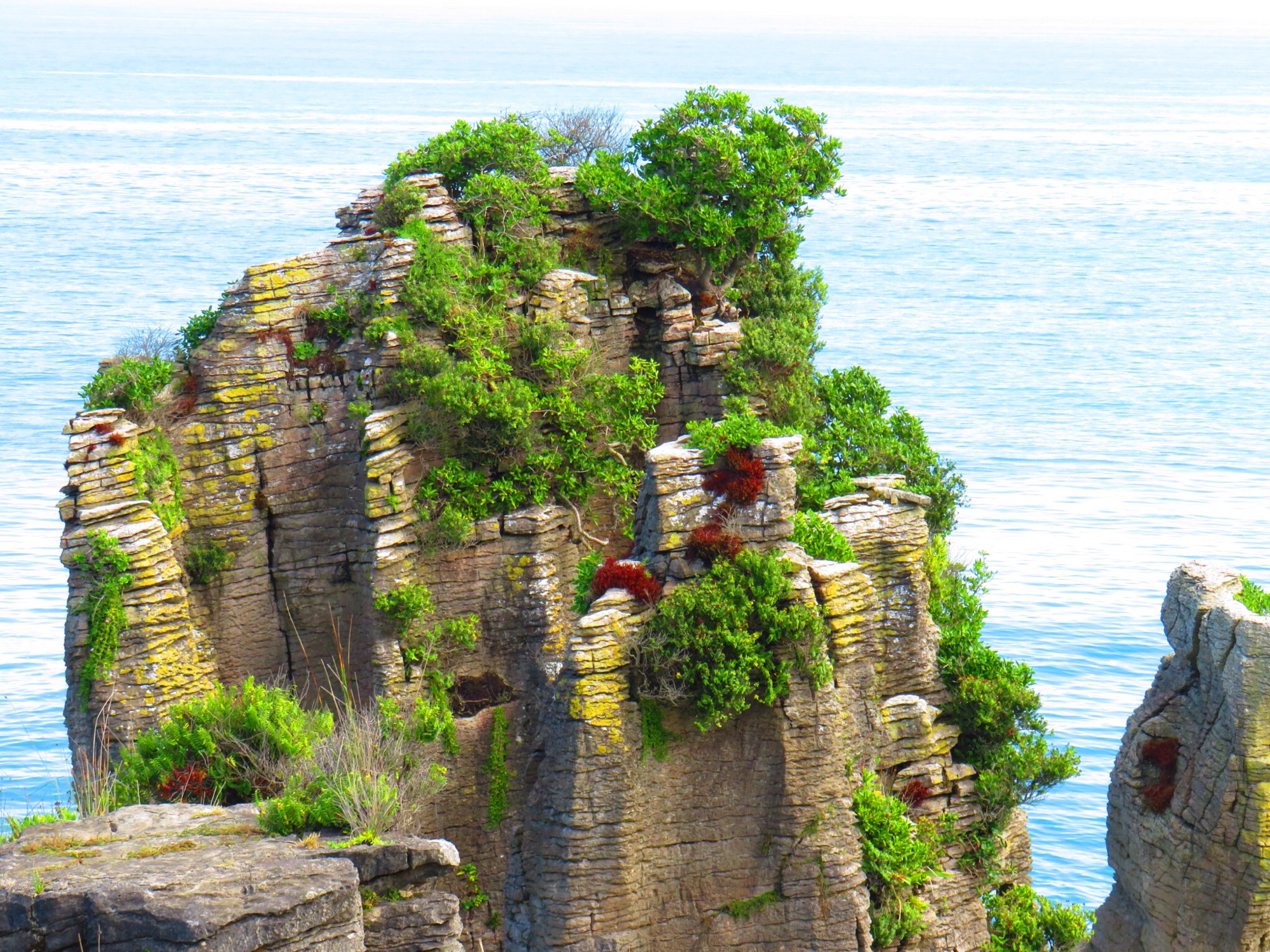
 Pancake Rocks & Blowholes Walk
21.03.2019
1,1 km / 30 min
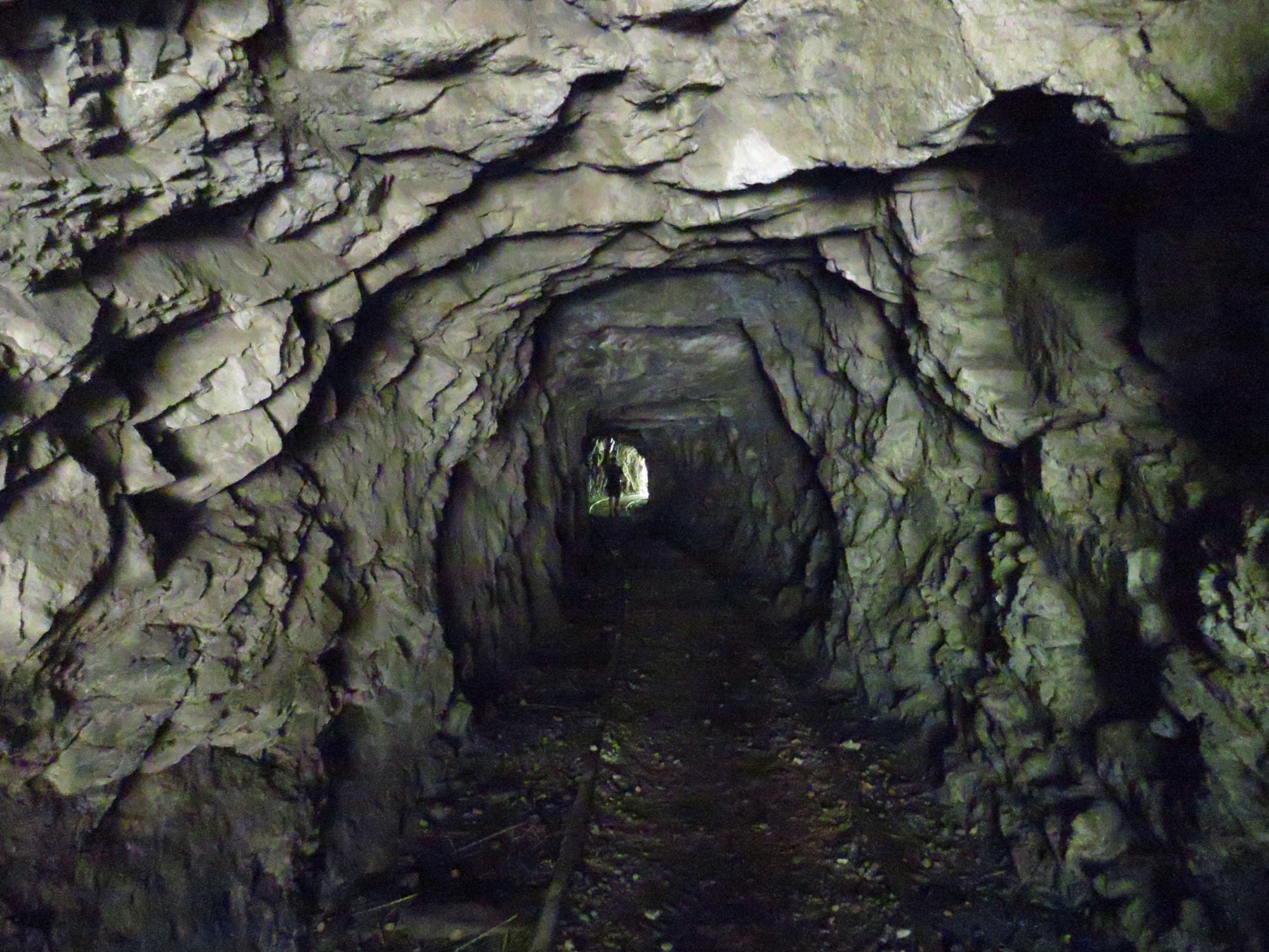
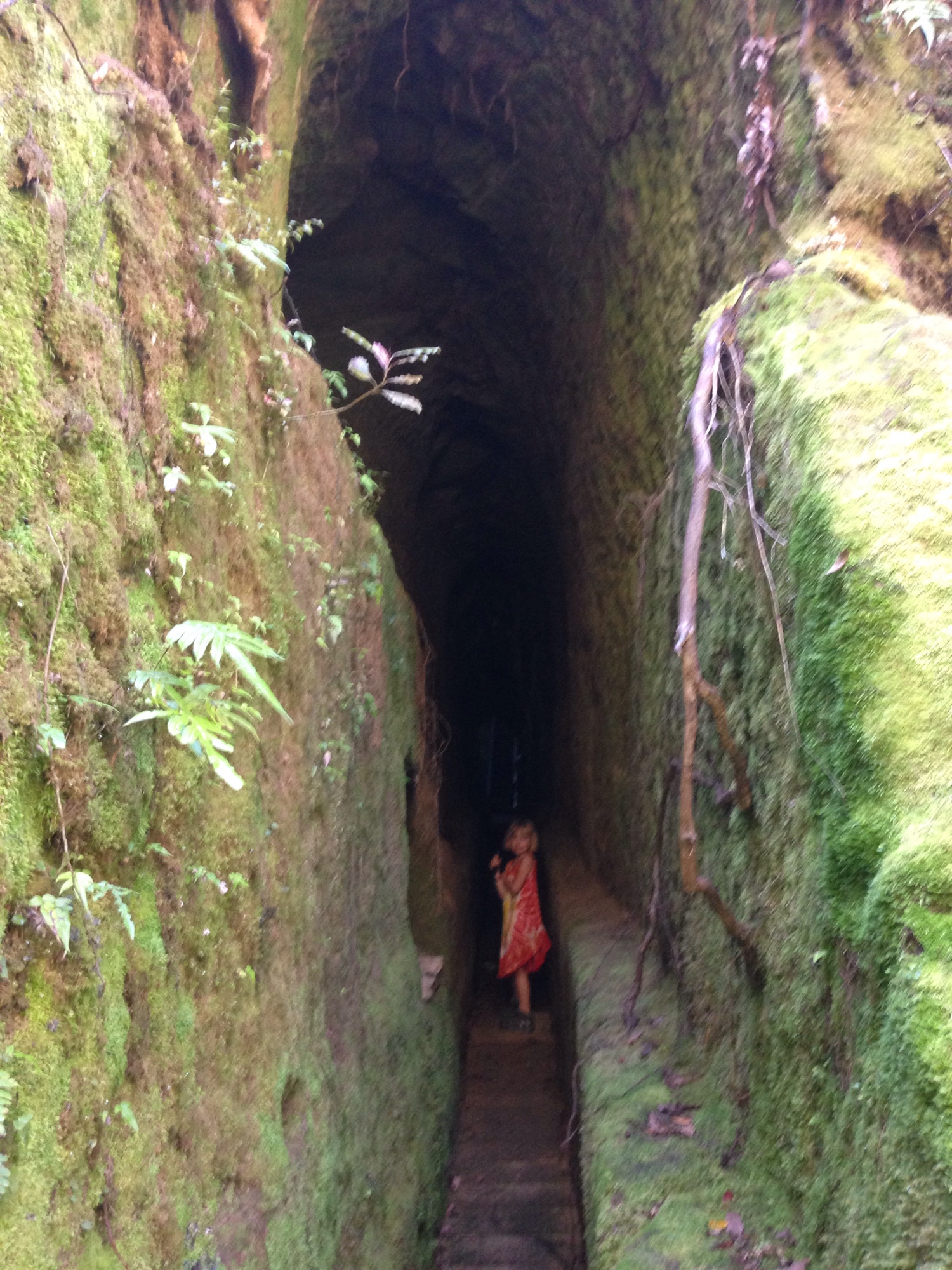
 Woods Creek Walking Trek
20.03.2019
1,1 km / 45 min
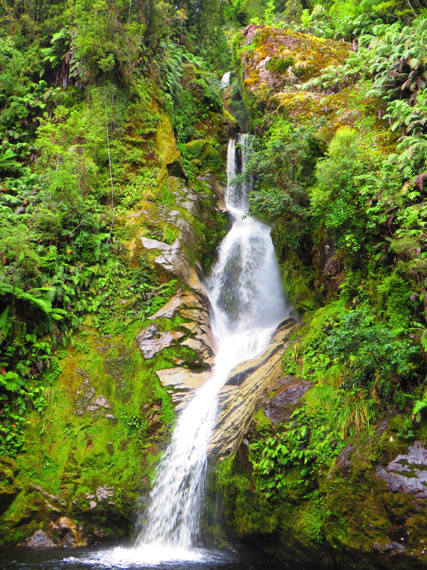
 Dorothy Falls Walk
19.03.2019
500 m / 10 min
 Blue Gorge Walk
19.03.2019
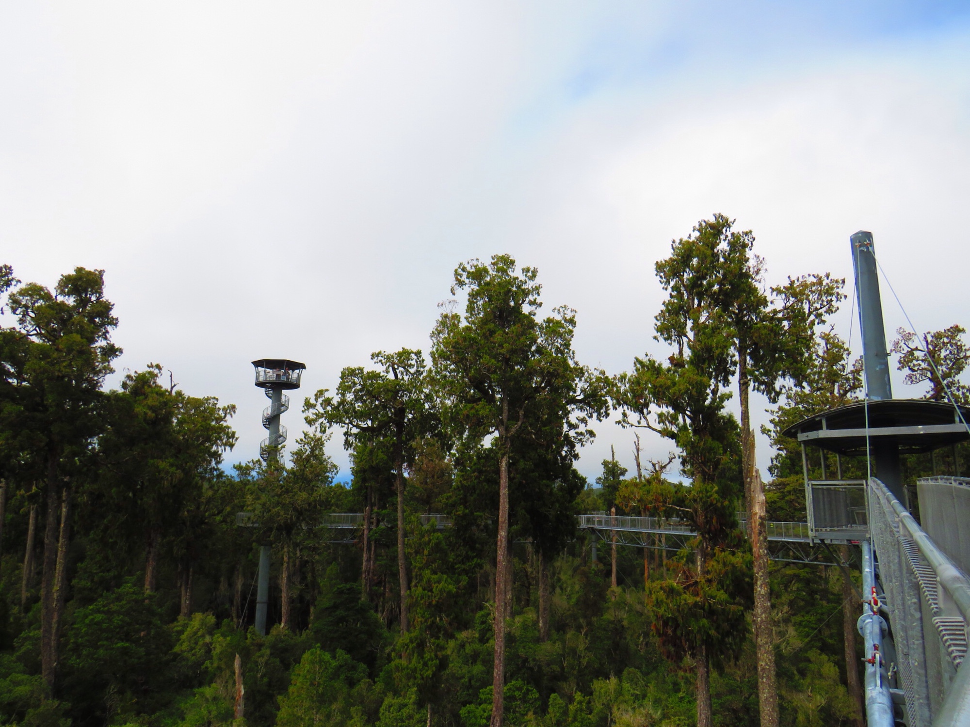
 Treetops Walk
19.03.2019
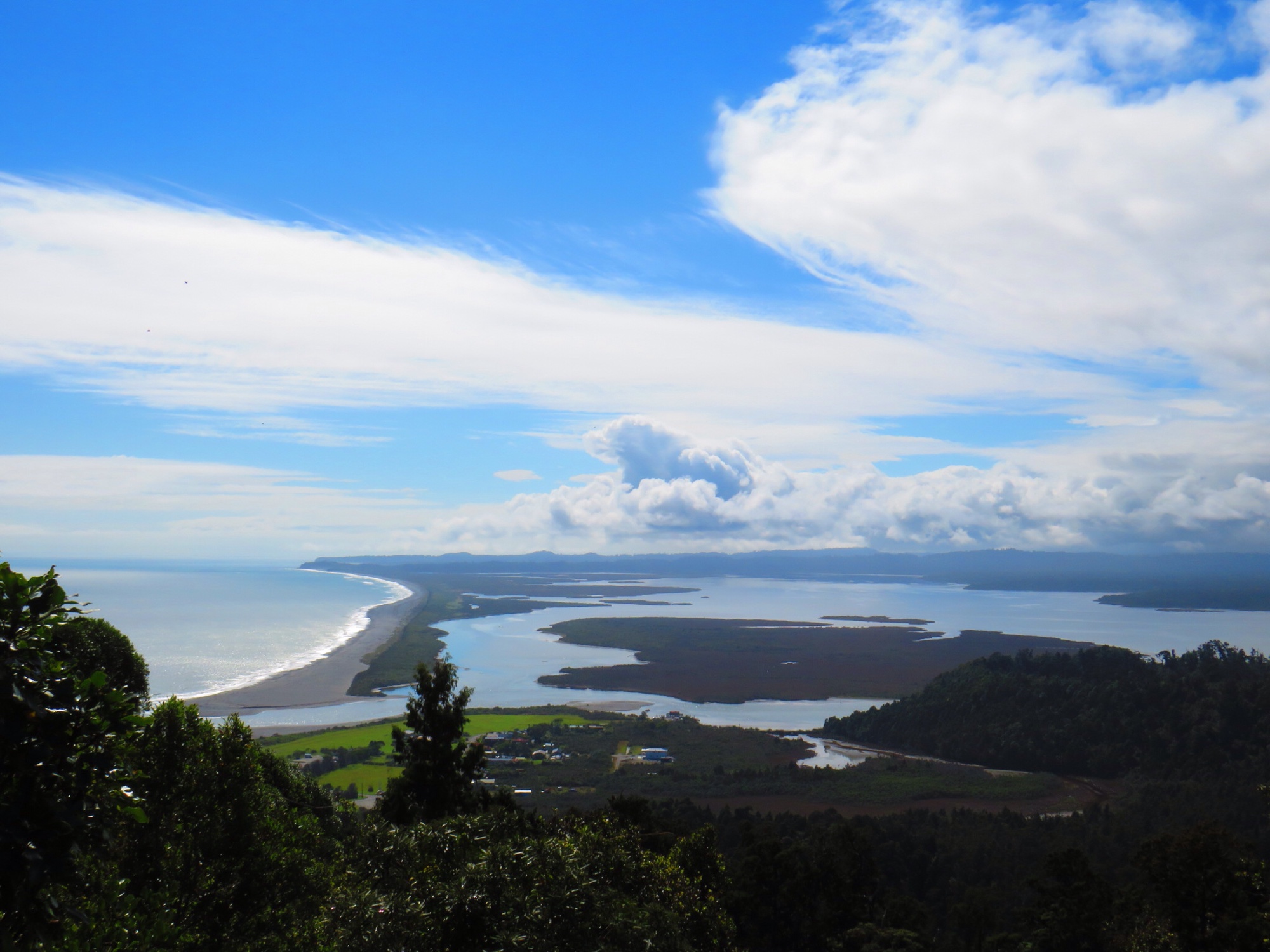
 Okarito Trig Walk
18.03.2019
4,2 km / 1,25 h (Grit alleine)
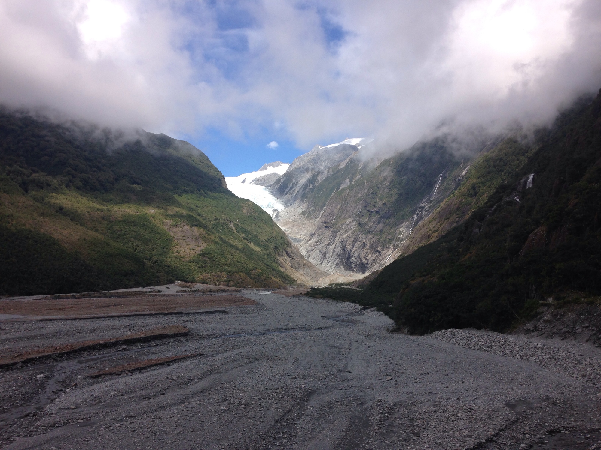
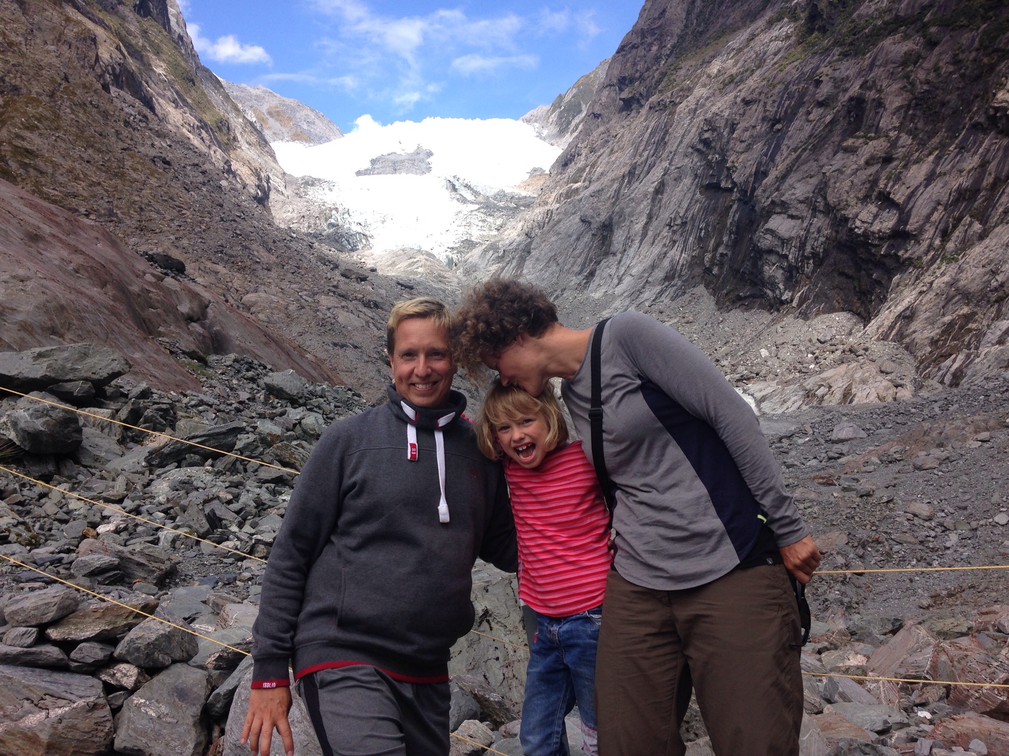
 Franz Josef Glacier Walk
17.03.2019
5,4 km / 1,5 h
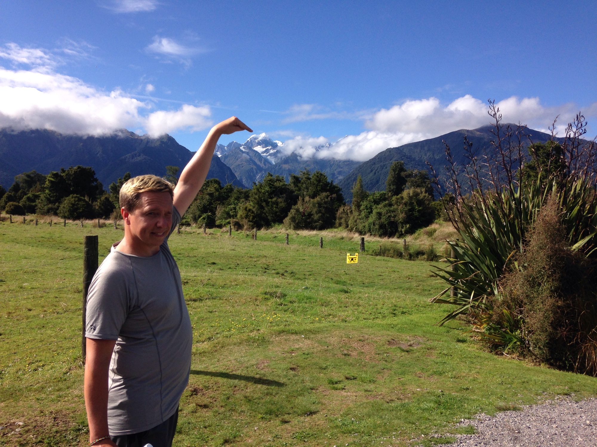
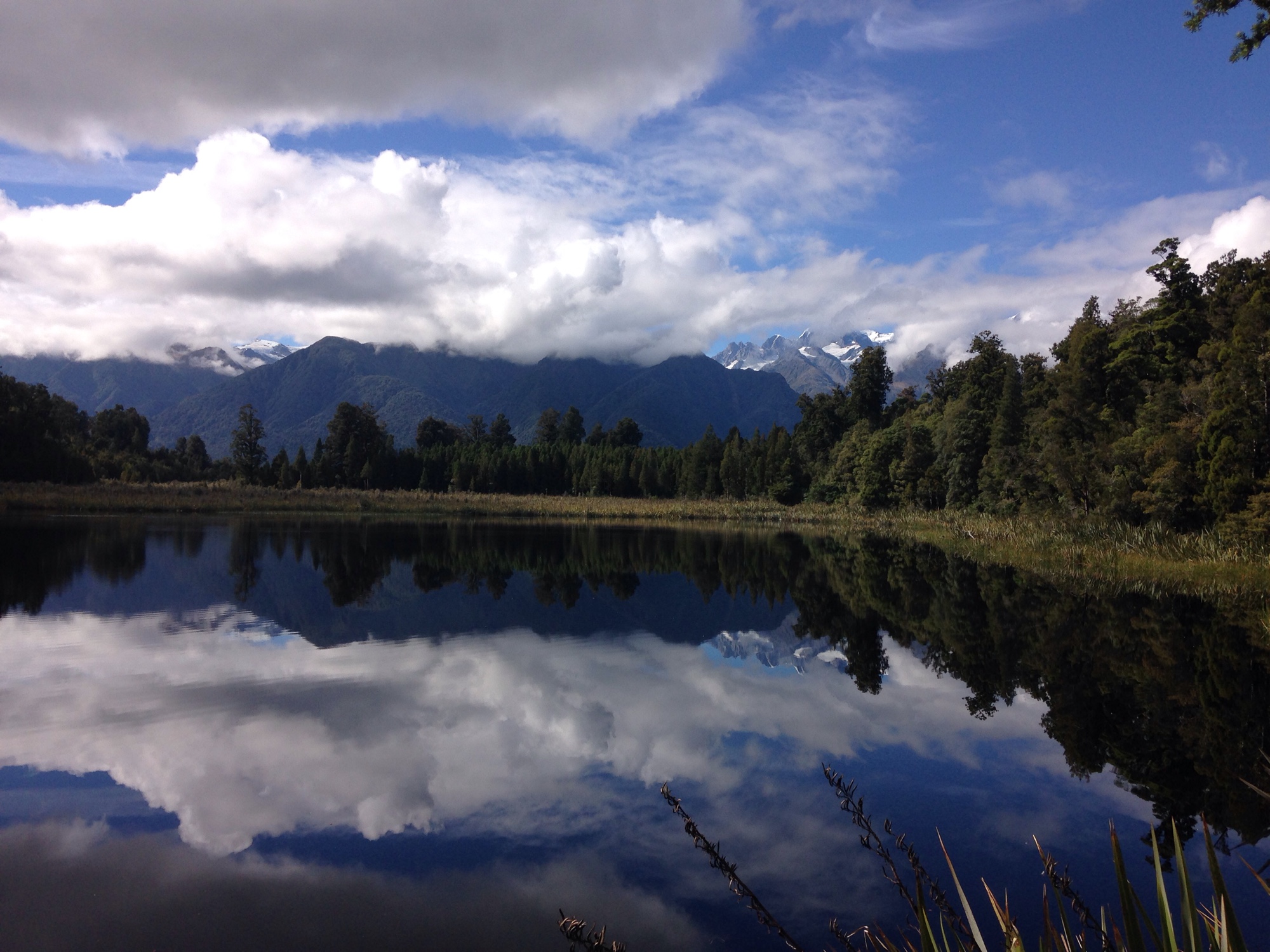
Lake Matheson
17.03.19
2,6 km / 1,5 h
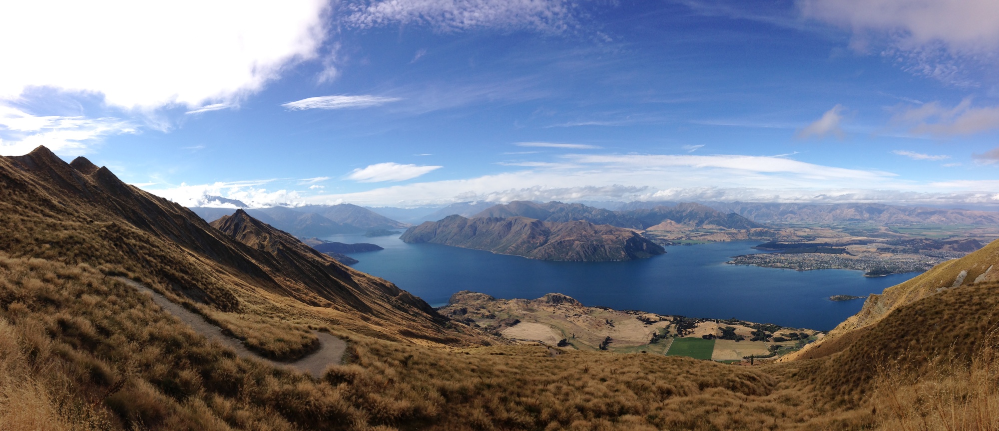
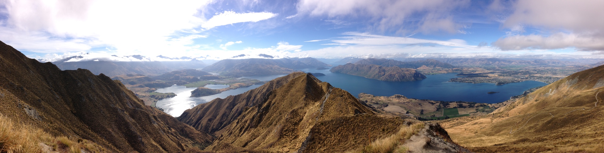
 Roys Peak Track
14.03.2019
16 km / 4,5 h (Grit alleine; die 2 km trampen aufm Rückweg zählen nicht mit dazu!-)
1228 hm
Start/Ziel: https://goo.gl/maps/gMXoAvTh8BQ2
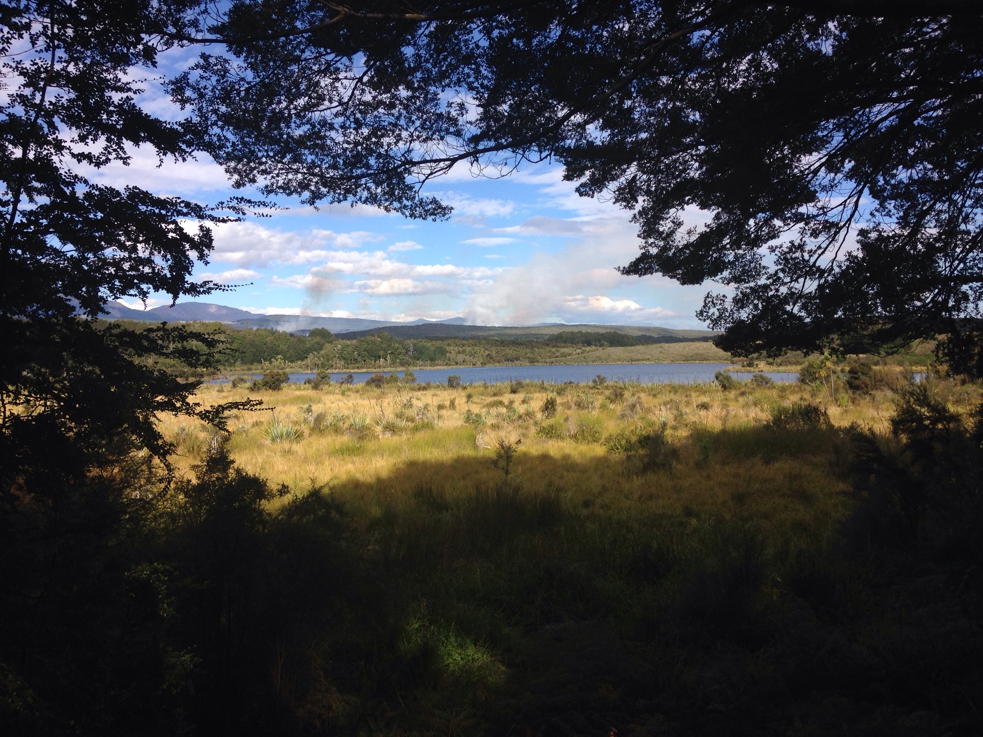
 Glenorchy Lagoon Walkway
13.03.2019
3 km / 45 min (Grit alleine)
0 hm
Start/Ziel: https://goo.gl/maps/eKB4CxRMdLN2
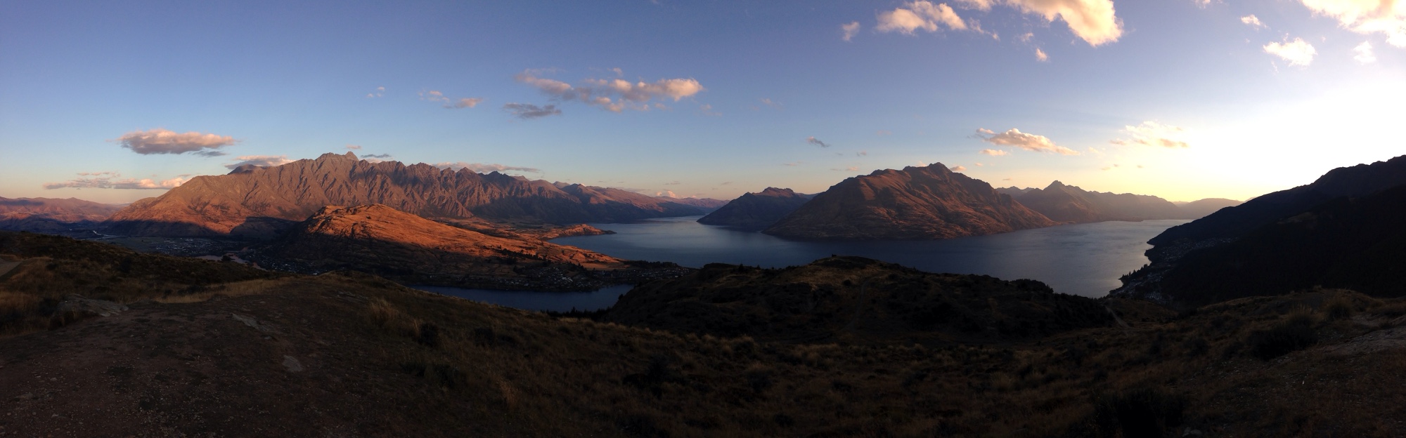
Queenstown Hill Track
12.03.2019 zum Sonnenuntergang
3 km – 1,5 h (Grit alleine)
500 hm
Start und Ziel: https://www.google.co.nz/maps/place/-45.0274357543878,168.6665940284729/
Lake Mistletoe
10.03.19
1,5 km / 45 min
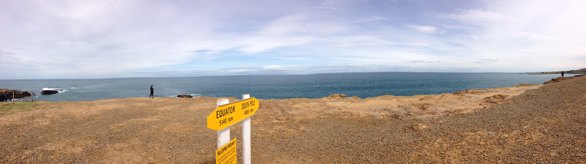
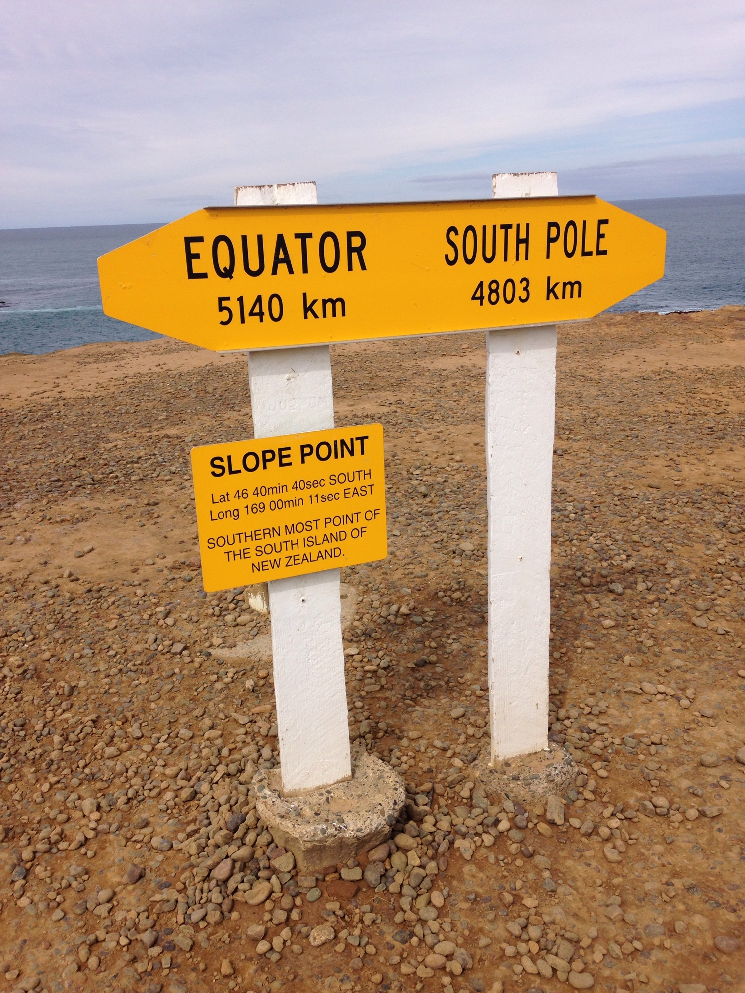
Slope Point
09.03.2019
2 km / 0:30 h (Hanna bleibt im Auto)
https://de.m.wikipedia.org/wiki/Slope_Point
Start/ Ende:
https://maps.app.goo.gl/Bvj2u
Südlicher Punkt:
https://maps.google.com/?cid=136203178499336669
Niagara Falls
09.03.2019
0,2 km / 0:10 h
https://southlandnz.com/the-catlins/natural-attraction/niagara-fallsmanga-piri
Wasserfall:
https://maps.app.goo.gl/ZYnEc
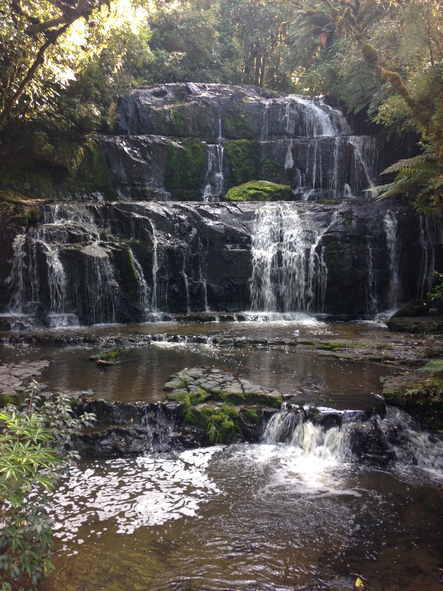
 McLean Falls
09.03.2019
3 km / 0:40 h
https://www.doc.govt.nz/parks-and-recreation/places-to-go/otago/places/catlins-conservation-park/things-to-do/mclean-falls-walk/
Start/ Ende:
https://maps.google.com/?cid=15115324106279198977
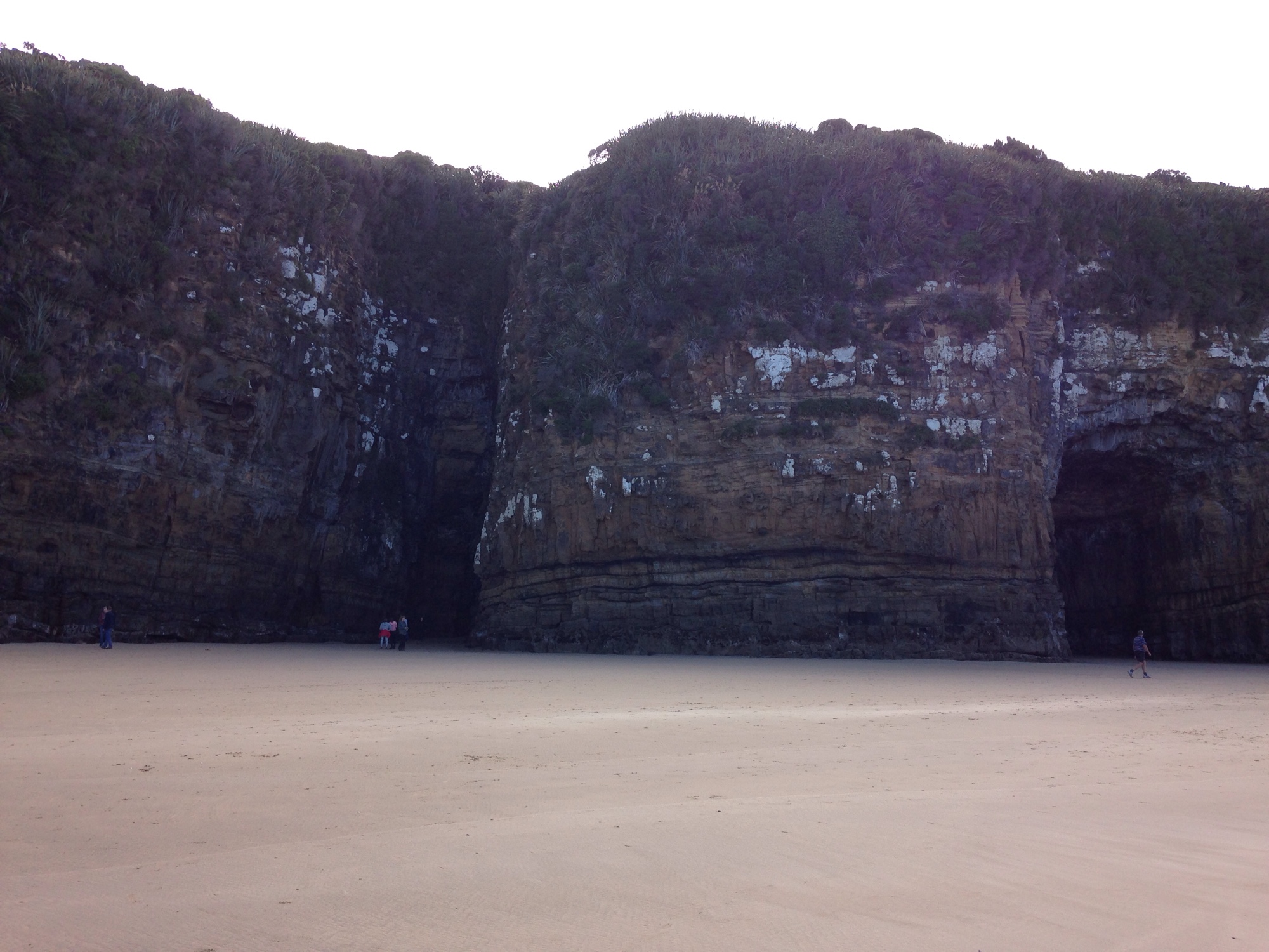
 Cathedral Caves
09.03.2019
3 km / 1:10 h
https://www.cathedralcaves.co.nz/
Start/ Ende:
https://maps.app.goo.gl/3EYTd
Höhle:
https://maps.google.com/?cid=11054181863748956312
 Matai und Horseshoe Falls
08.03.2019
2 km / 0:20 h
https://www.doc.govt.nz/parks-and-recreation/places-to-go/otago/places/catlins-coastal-area/things-to-do/matai-falls-walk/
Start/ Ende:
https://maps.app.goo.gl/wB5Zy
Wasserfälle:
https://maps.app.goo.gl/4NmNw
 Purakaunui Falls
08.03.2019
1 km / 0:10 h
https://www.doc.govt.nz/parks-and-recreation/places-to-go/otago/places/catlins-coastal-area/things-to-do/purakaunui-falls-walk/
Start/ Ende:
https://maps.app.goo.gl/cKXwq
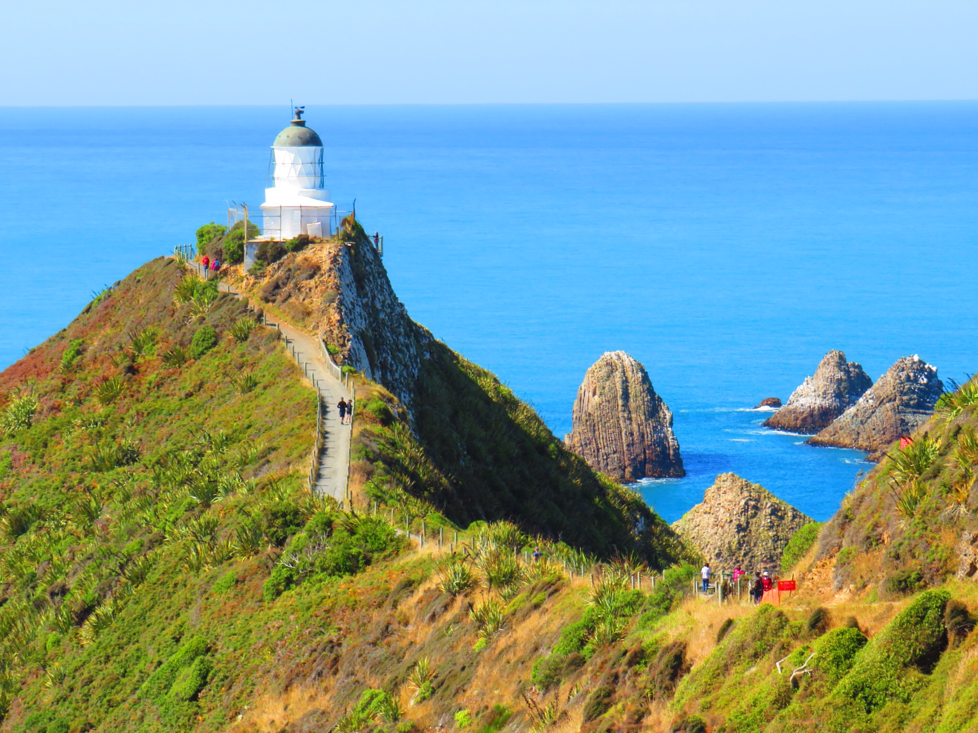
 Nugget Point Lighthouse
08.03.2019
3 km / 45 min (Grit alleine)
ca. 50 hm
Ziel: ttps://goo.gl/maps/zdzMFPCABDU2
 Tunnel Beach Walk
07.03.2019
2 km / 1,5 h
ca. 100 hm
Start/Ende: https://goo.gl/maps/mb37SpgmnEv
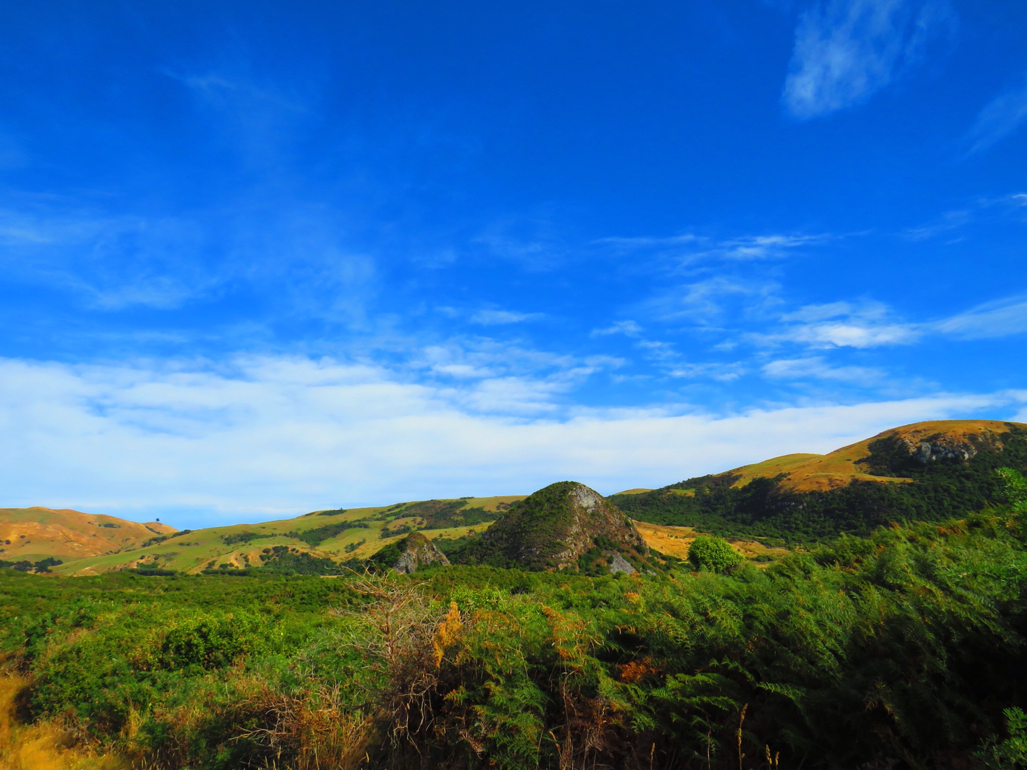
 The Pyramids
07.03.2019
ca. 5 km
ca. 50 hm
https://maps.google.com?q=The%20Pyramids%20Riddell%20Rd,%20Portobello,%20Okia%20Flat%209077&ftid=0xa8294b4842d21e8d:0xcb4eab6bdb5301c9&hl=de-DE&gl=de
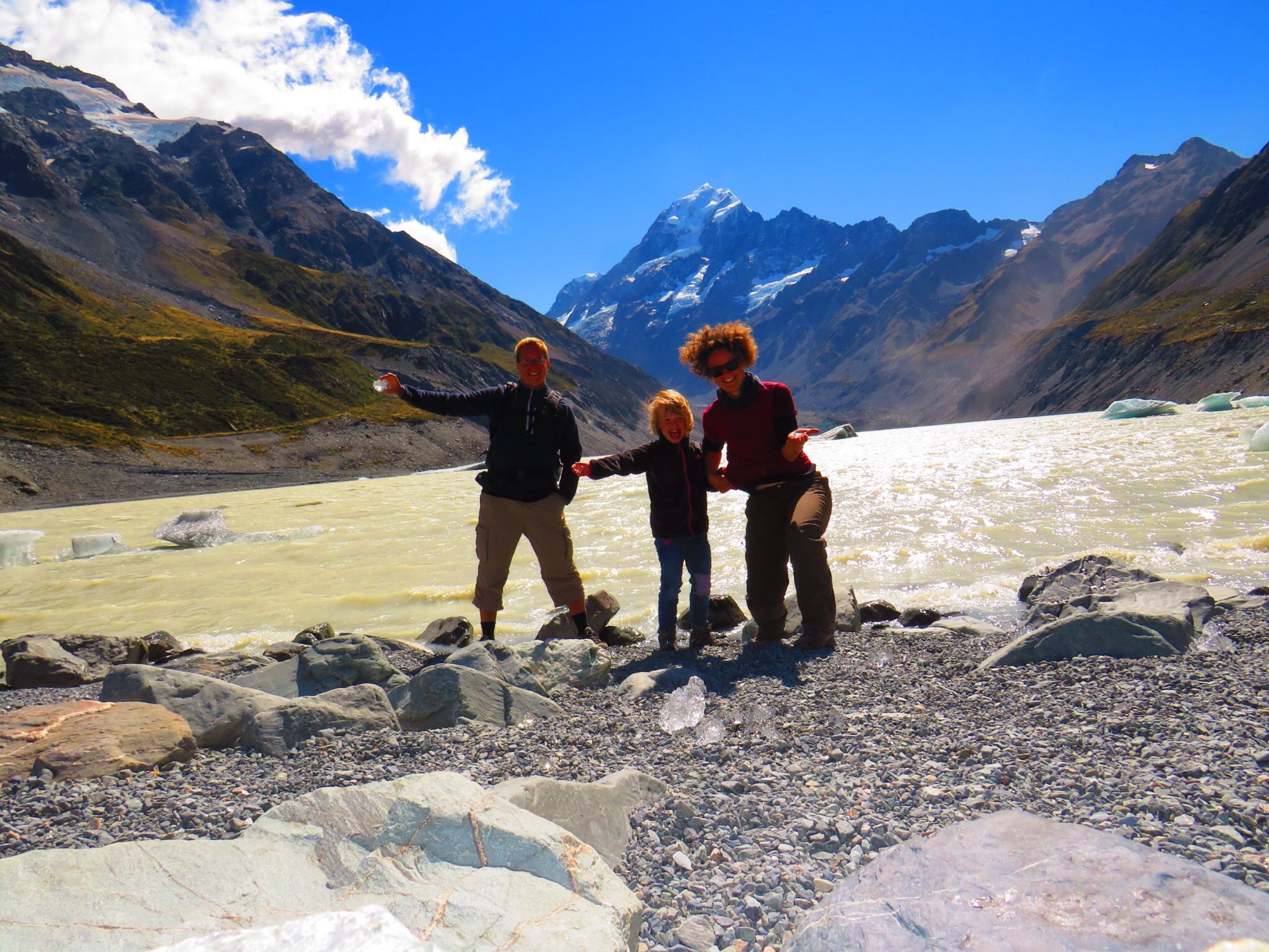
 Hooker Valley Track
04.03.2019
10 km / 3:20 h
https://www.doc.govt.nz/hooker-valley-track
Start/ Ende:
https://maps.app.goo.gl/FLzuv
Outlook auf den Hooker Lake:
https://maps.app.goo.gl/S4LYH
 Mount John Summit Curcuit Track
03.03.2019
8 km / 2 h (mit Pause im Café)
https://www.doc.govt.nz/parks-and-recreation/places-to-go/canterbury/places/lake-tekapo-area/things-to-do/lake-tekapo-town-tracks/
Start/ Ende:
https://maps.google.com/?q=-43.995652,170.461381

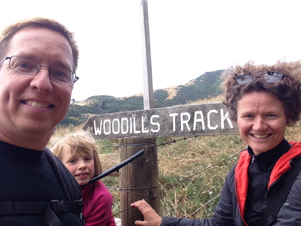
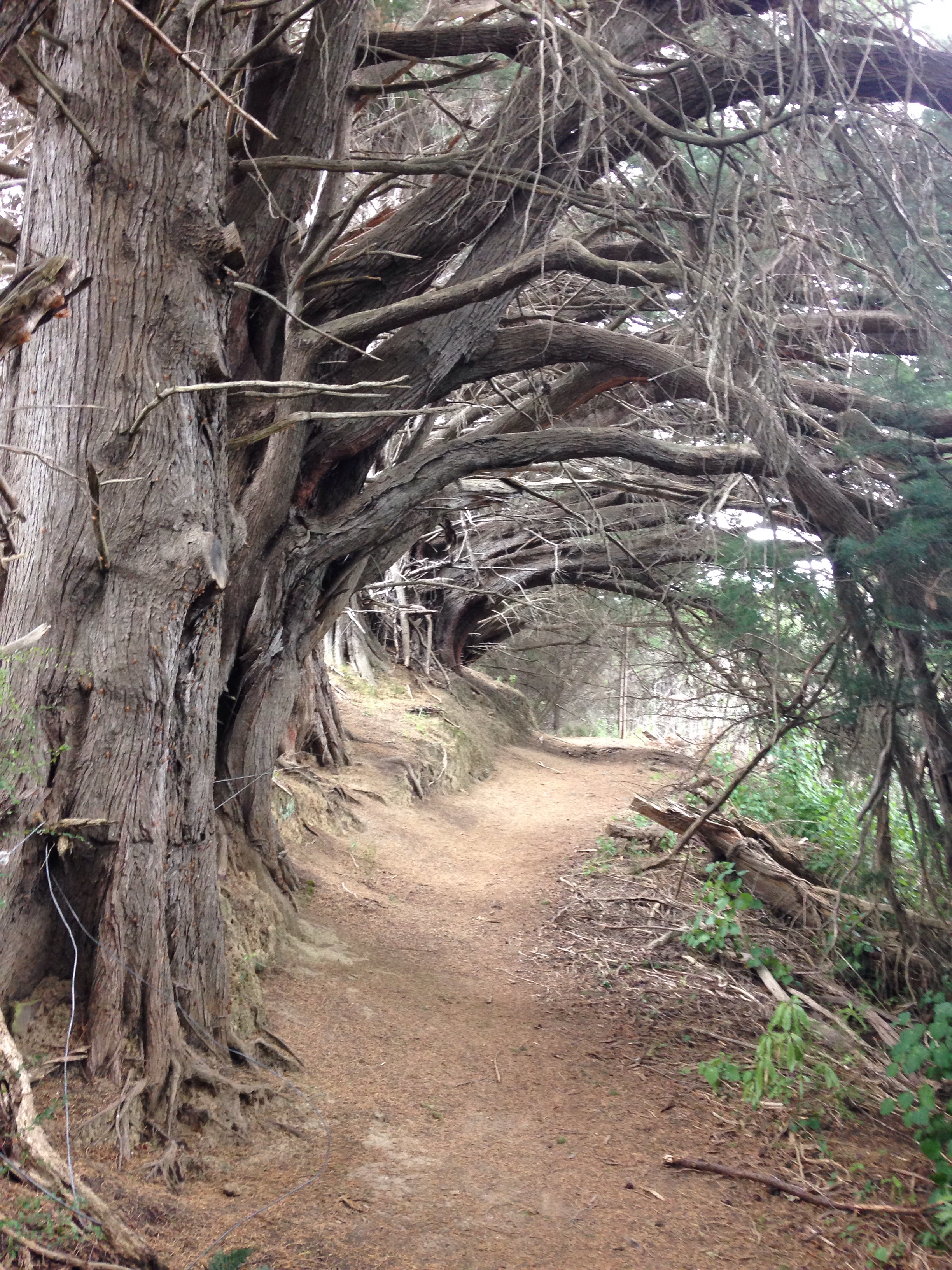
 Woodills North & South
28.02.2019
ca 4,5 km / 2:05 h
https://akaroa.com/cruise-ships/akaroa-short-walks
Start:
https://maps.app.goo.gl/S7d8X
Ende:
https://maps.app.goo.gl/V7ktF
Mega Fotos 🙂
Dankeschön!
Hab erstmal den Backlog aufgeholt bei den Wanderphotos!-)