Damit der Blogeintrag nicht zu groß wird, kriegt die Nordinsel ihre eigene „Wanderecke“:
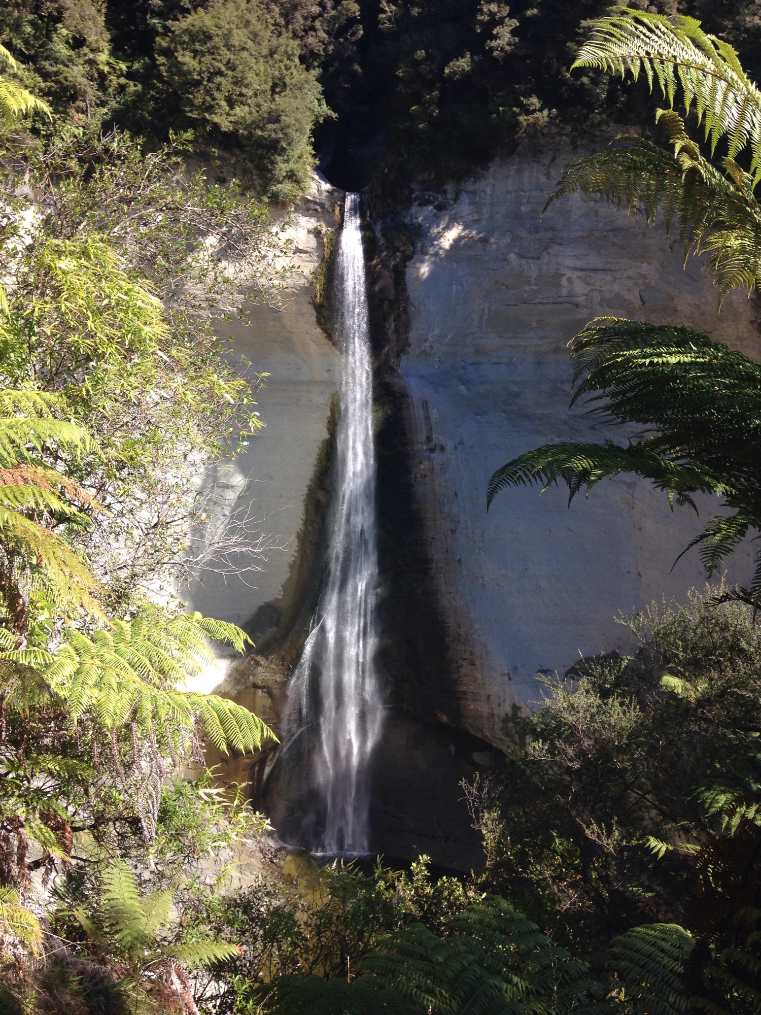
Mount Damper Falls Trek
15.04.2019
2 km / 30 min
https://goo.gl/maps/SSRXSLLjhZk
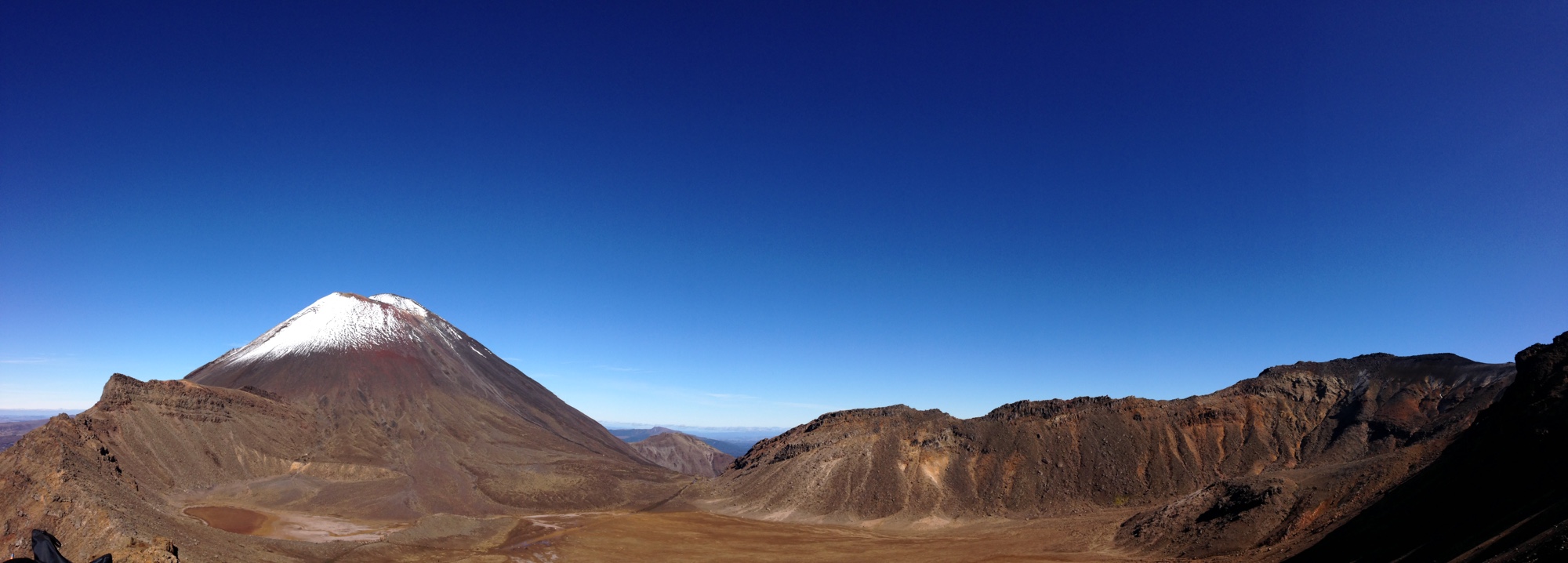
 Tongariro Crossing (extended version)
14.04.2019
ca. 29 km / 8 h (Grit alleine)
Start: https://goo.gl/maps/zVsGkHNJDEE2
Ende: https://maps.google.com/?q=-39.065430,175.667328
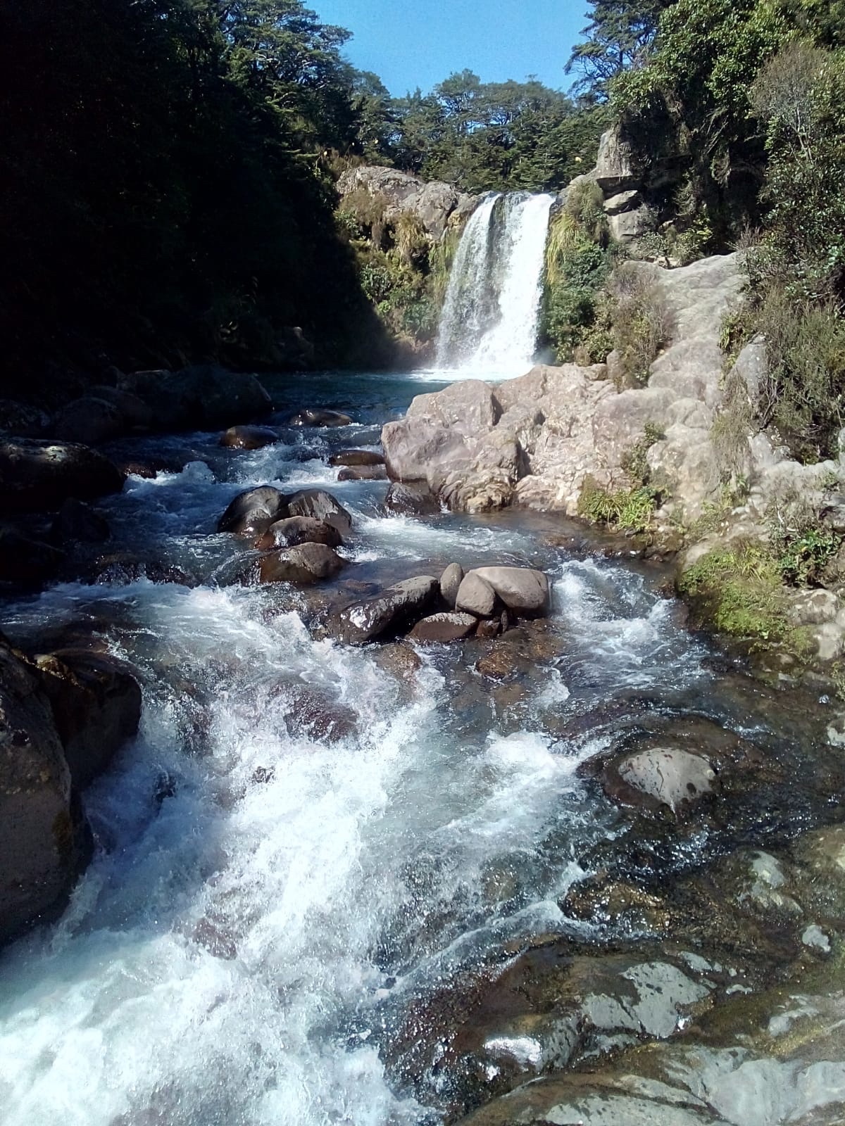
Tawhai Falls Trek (Gollums Pool)
14.04.2019
0,8 km / 20 min (Hanna & Matthias)
https://goo.gl/maps/w4LgiTM8ZWP2
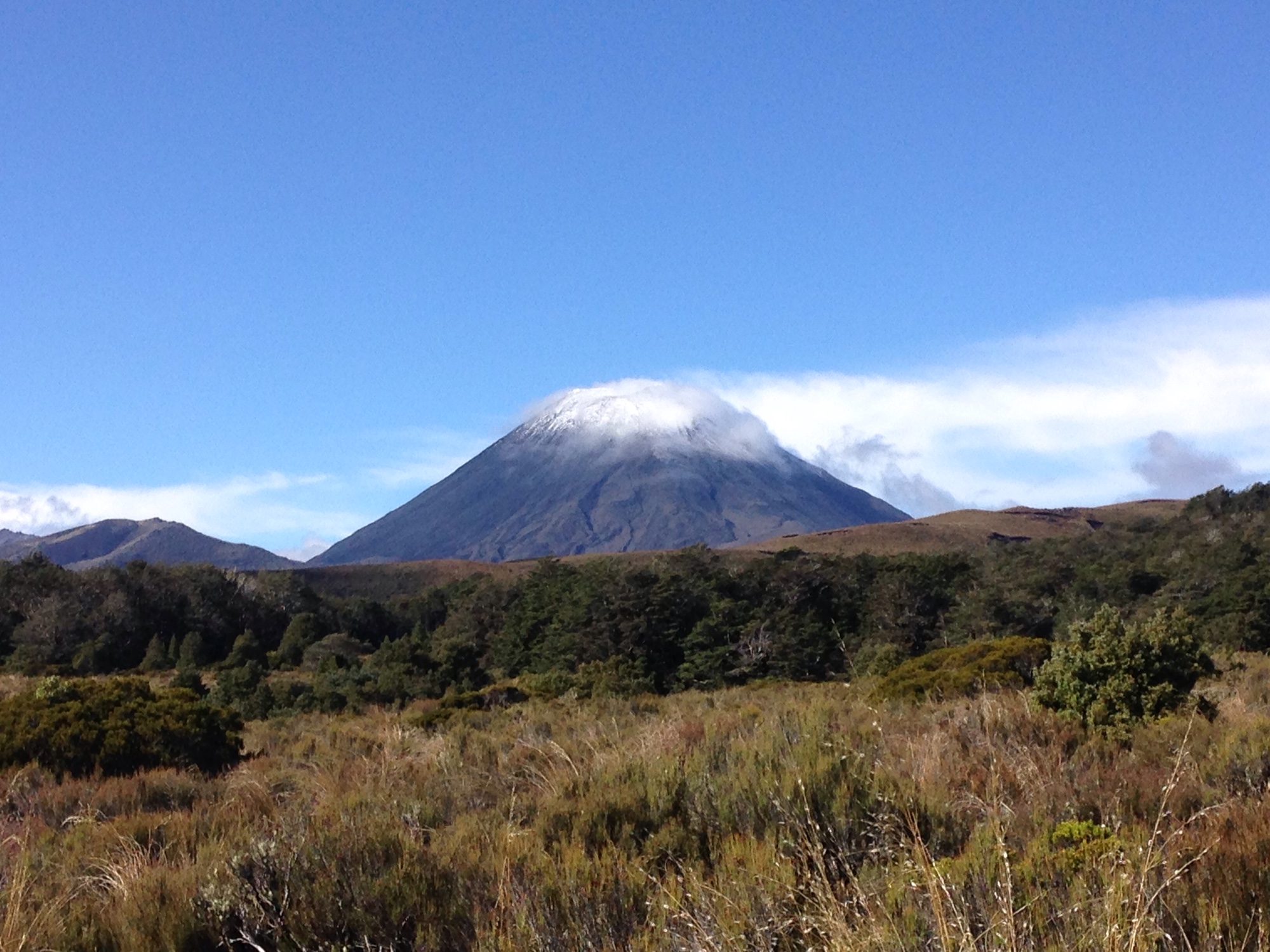
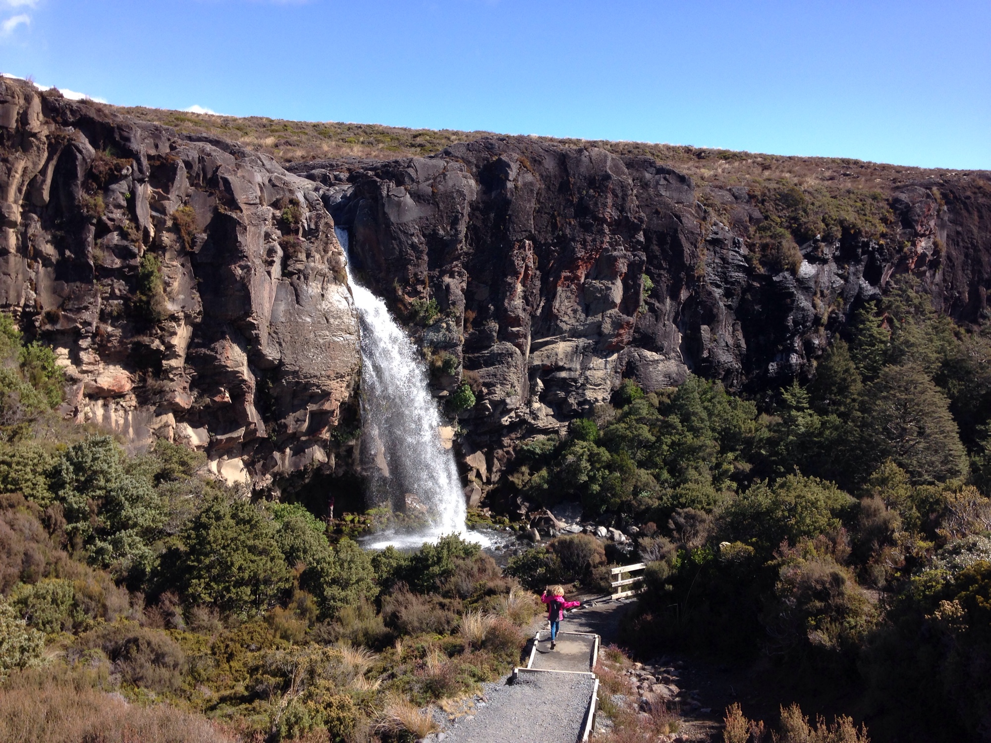
 Taranaki Falls Track
13.04.2019
7 km / 1 h 45 min
https://goo.gl/maps/Cr7JNBPdqX12
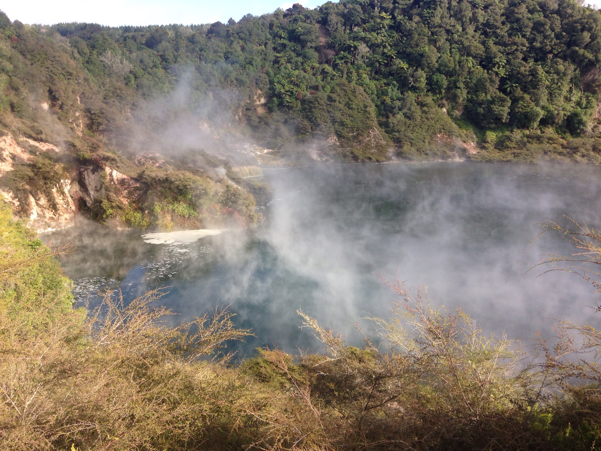
Waimangu Volcanic Valley
12.04.2019
4 km / 1 h 45 min
https://goo.gl/maps/NUvM9Uudaew
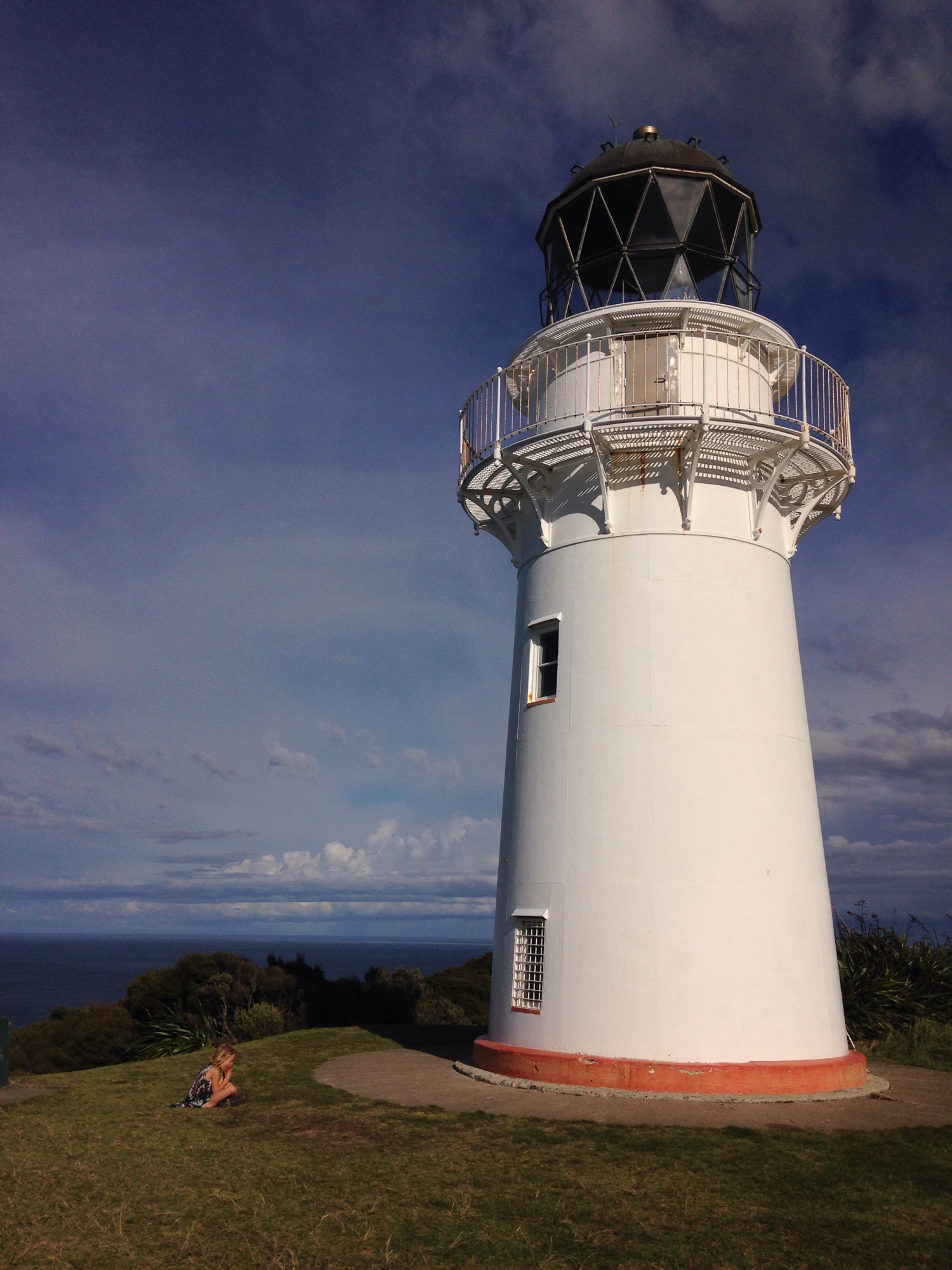
East Cape Lighthouse
08.04.2019
ca. 2 km / 45 min (östlichster Leuchtturm der Welt: hier ist man morgens (fast) der erste, der den neuen Erdentag begrüßt)
https://goo.gl/maps/iGEVXjg9HYs
Mokotahi Hill
07.04.2019
ca. 2 km / 45 min
https://goo.gl/maps/H4oG9F8Dozr

Aniwaniwa Falls Track
06.04.2019
20 min
https://goo.gl/maps/8XUCT7BKVy42
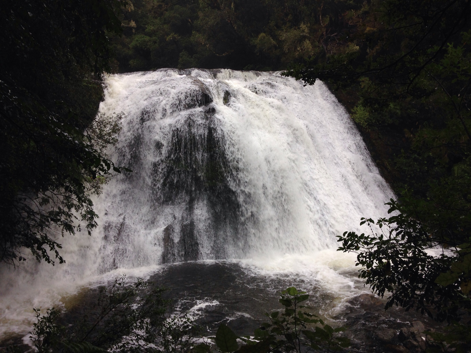
Papakorito Falls
06.04.2019
5 min
https://goo.gl/maps/K2gvoE53T572
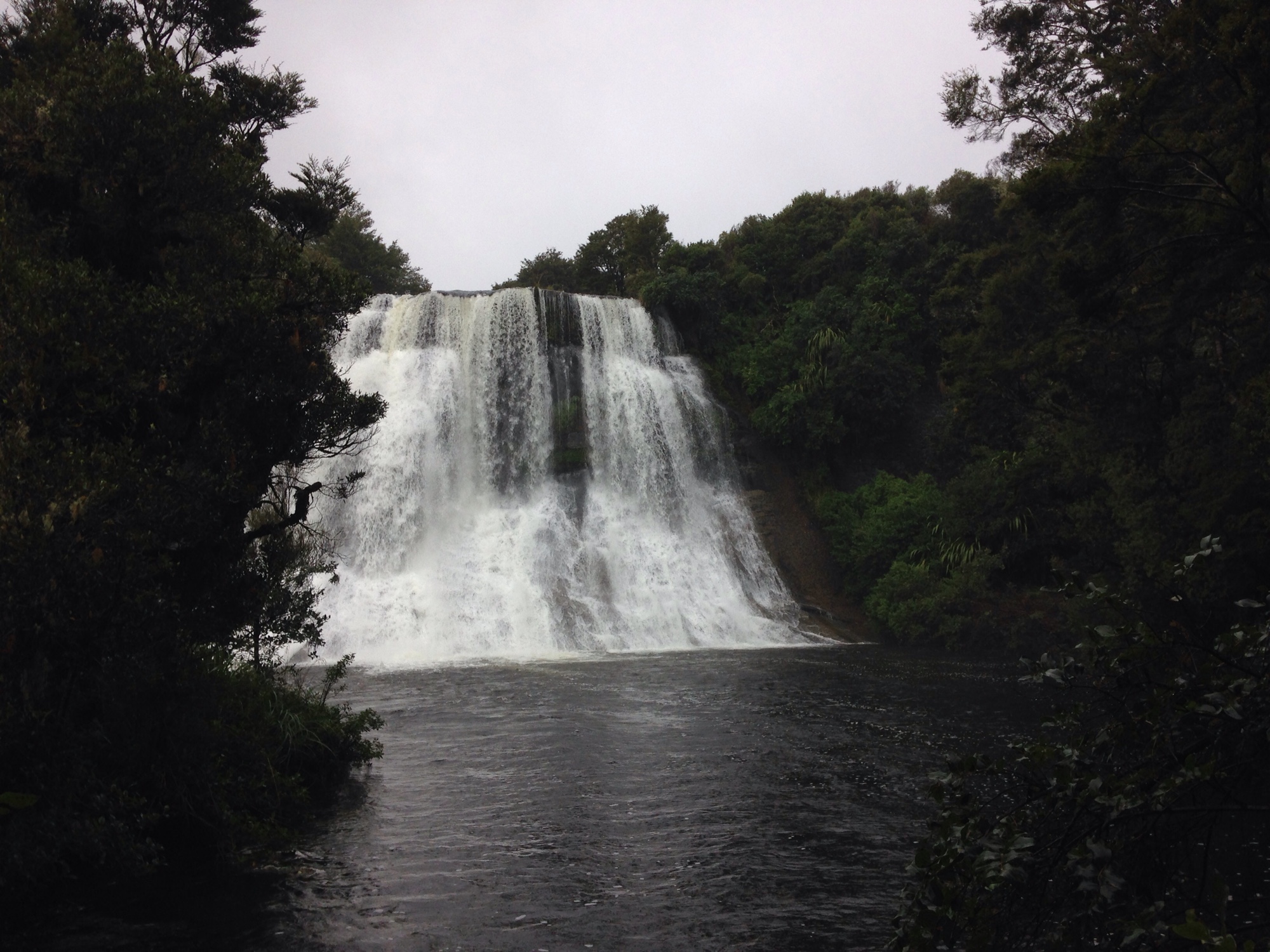
Hinau Walk
06.04.2019
30 min
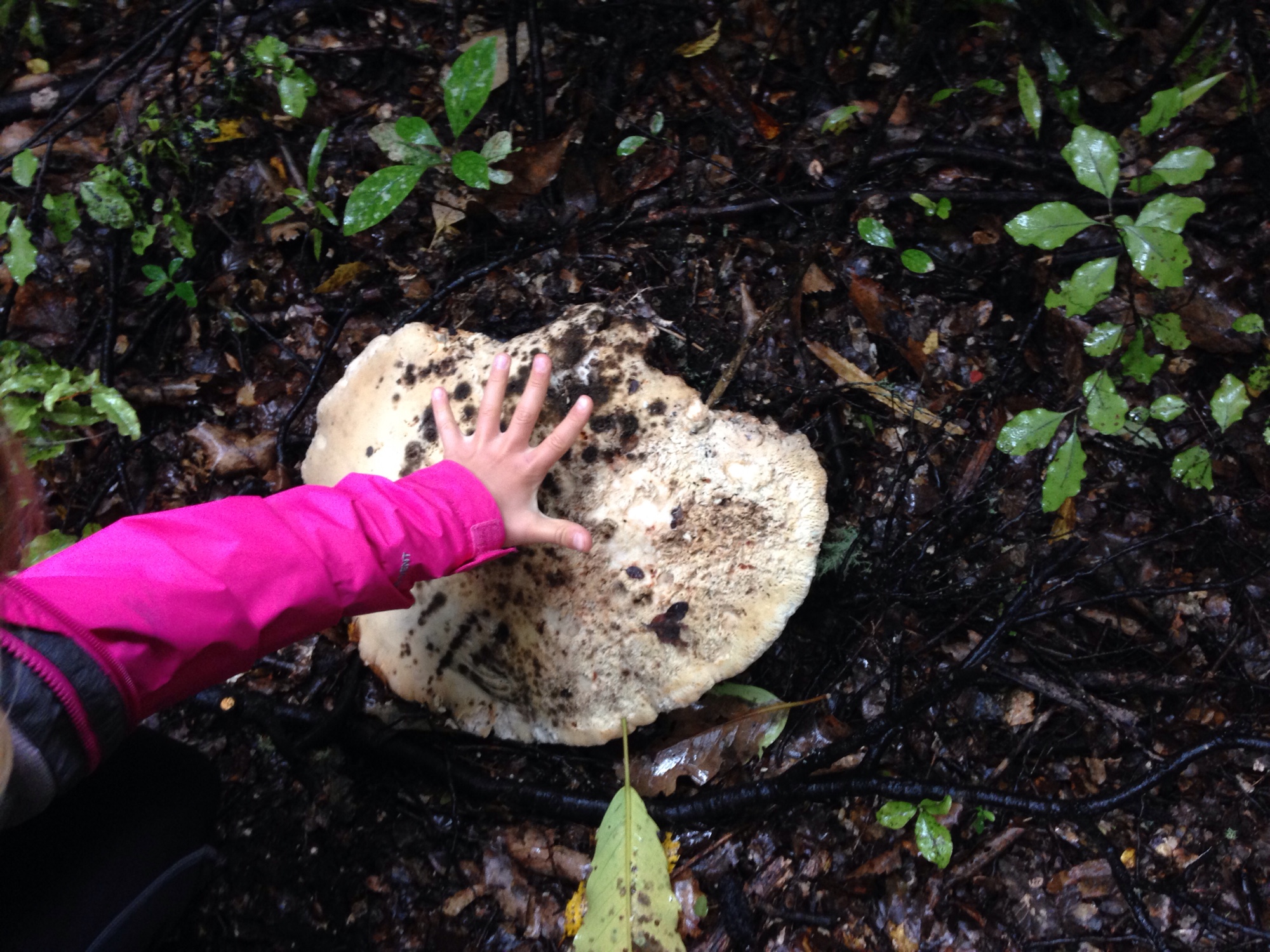
Tawa Walk
06.04.2019
ca. 2 km / 45 min
https://goo.gl/maps/DtztTJ3kKcL2
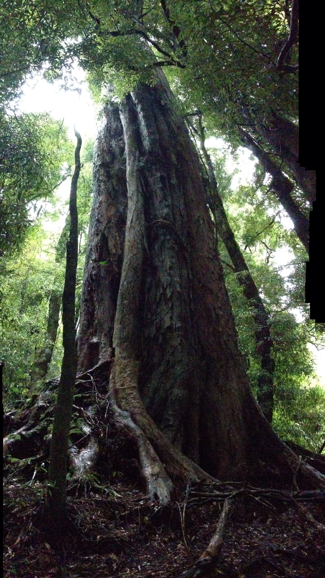
Lou’s Lookout
06.04.2019
ca. 2 km / 45 min
ttps://goo.gl/maps/fa63PcD8QMH2

Southern Coastal Walk bei Waipatiki Beach
05.04.2019
ca. 2 km / 45 min (Grit alleine)
https://goo.gl/maps/swYDazzNjQo
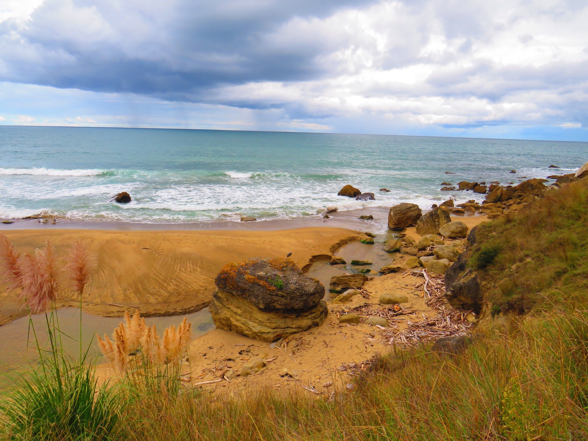
Deliverance Cove Track
04.04.2019
ca. 3 km / 1 h (Hanna macht nur „die Hälfte“ mit)
https://goo.gl/maps/GAR972xAEAL2
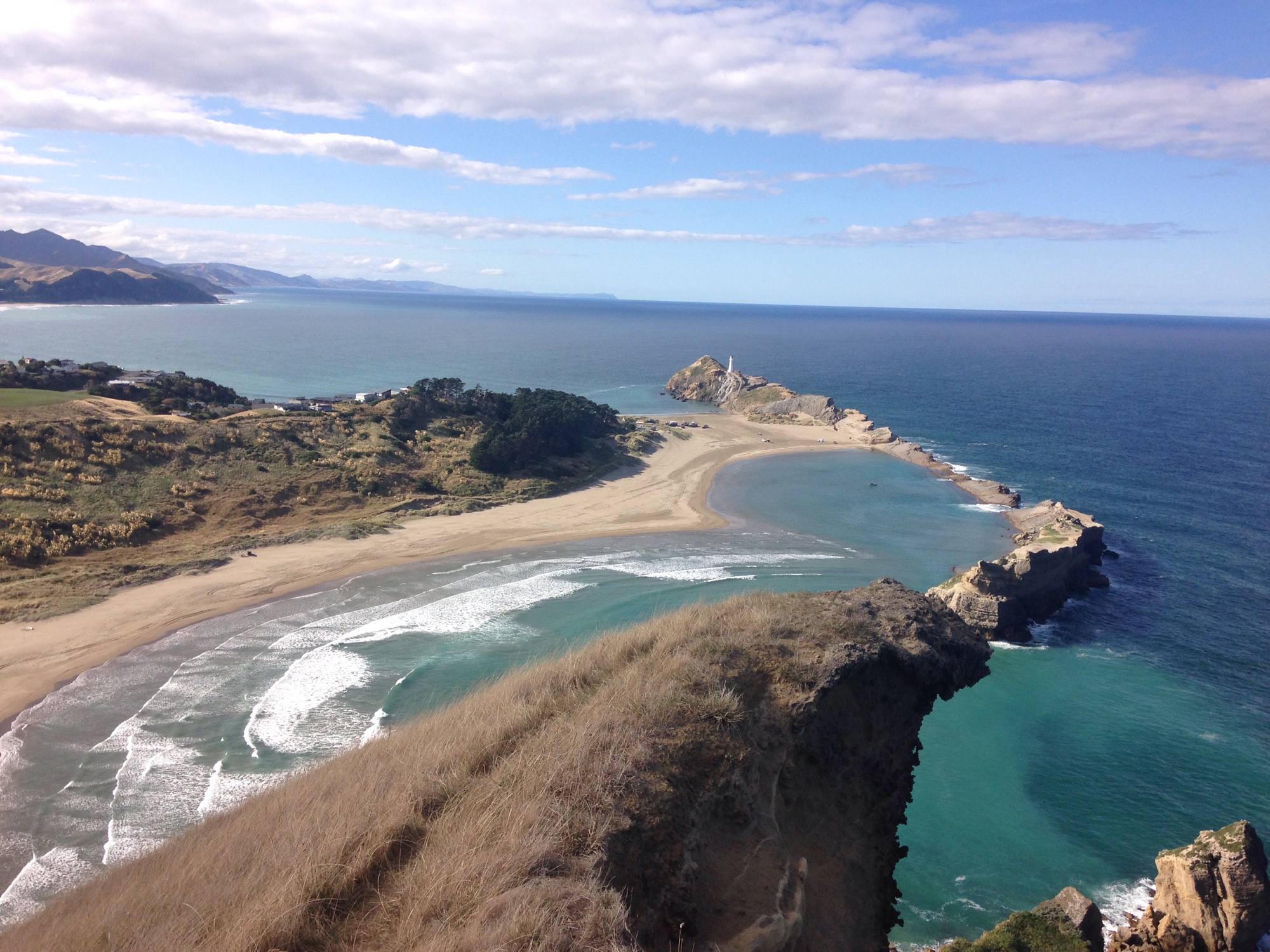
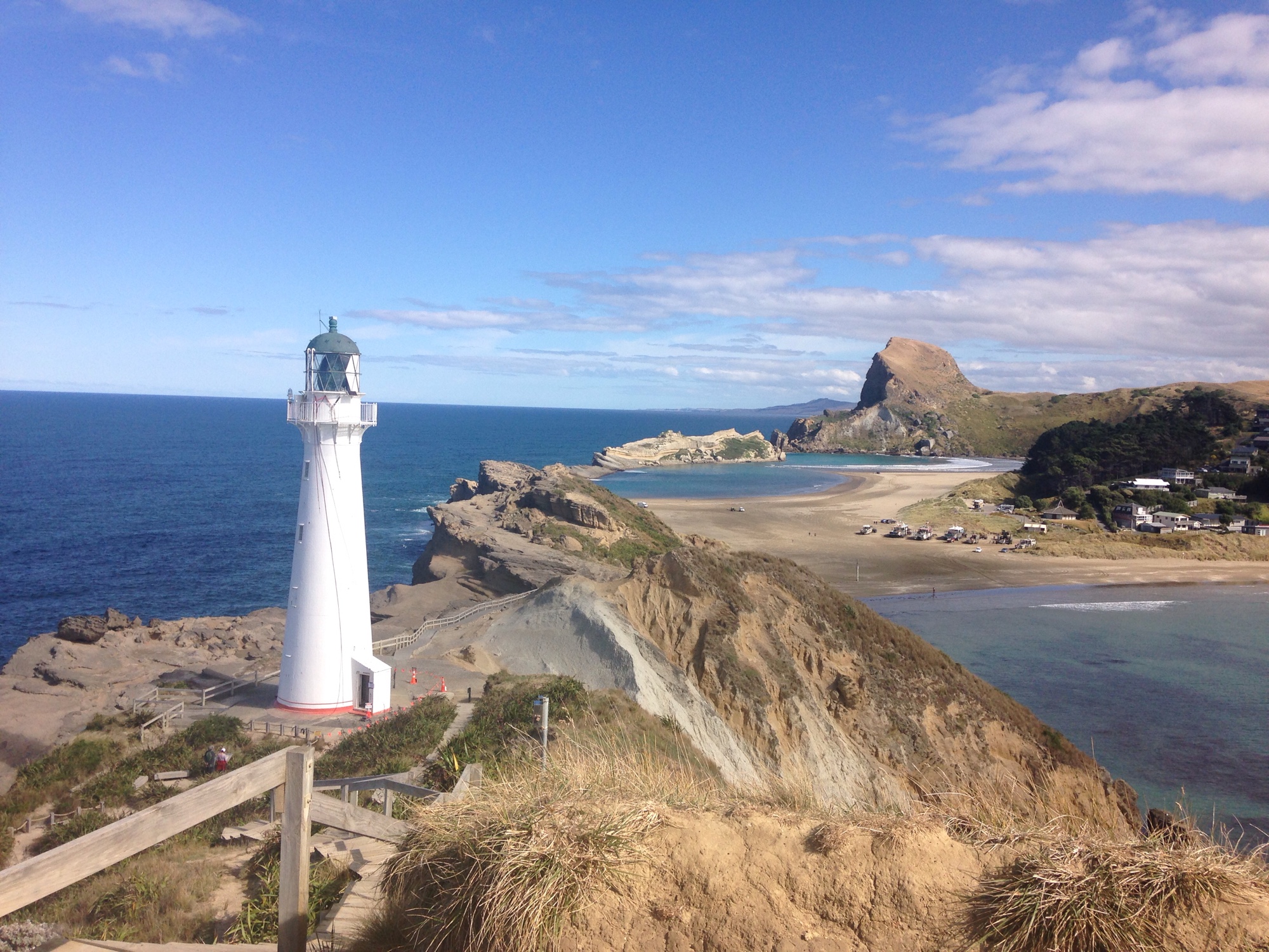
Castlepoint Lighthouse
04.04.2019
1 km / 30 min
https://goo.gl/maps/Zf7xzMCwjm32
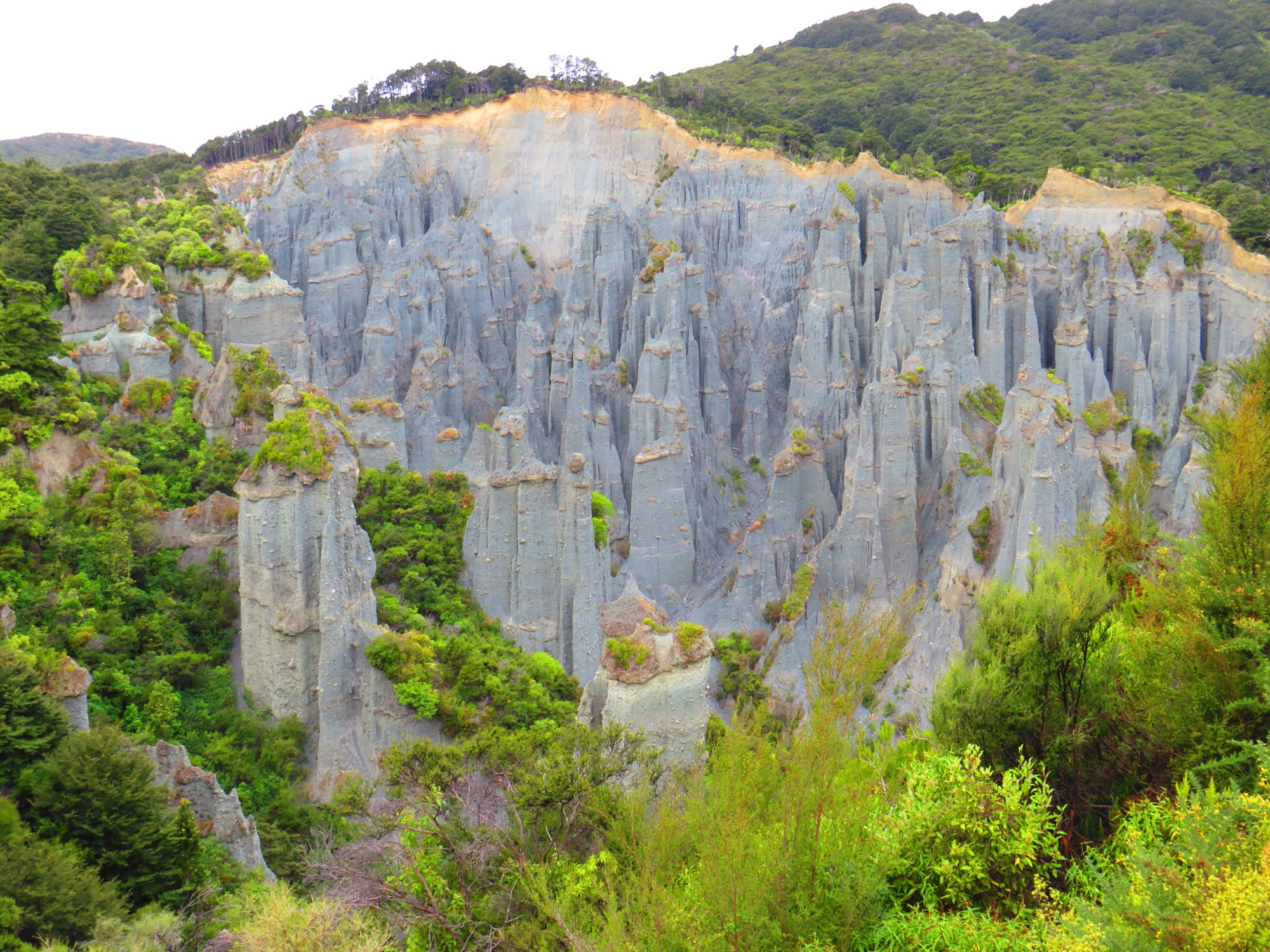
Putangirua Pinnacles
03.04.2019
ca. 4 km / 1 h (Grit alleine)
https://goo.gl/maps/1HhDfiopQYp
Cape Palliser Leuchtturm
03.04.2019
2 km & 253 Stufen / 45 min
https://goo.gl/maps/APVr67MrY4t
